
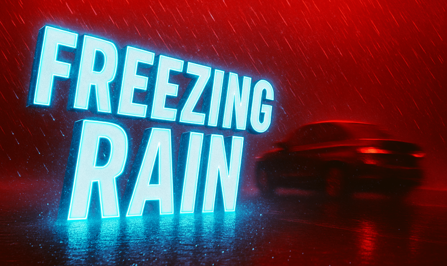
Green Bay, Wisconsin – Drivers across central and east-central Wisconsin could face slick roads tonight as freezing rain and drizzle spread into the region, creating a light glaze of ice on untreated surfaces and increasing the risk for crashes after the evening commute.
According to the National Weather Service in Green Bay, freezing rain or freezing drizzle is likely to develop this evening and persist through around midnight. The highest risk stretches from central Wisconsin into the Fox Valley and lakeshore areas, with conditions improving from southwest to northeast late tonight as precipitation exits far northeastern Wisconsin.
Most locations are expected to see only a thin glaze of ice, but even minor accumulation can lead to hazardous travel. Untreated roads, bridges, overpasses, sidewalks, and parking lots are most vulnerable, especially as temperatures hover near or below freezing. Travel impacts are most likely to ramp up after the evening commute, when road temperatures cool further.
Communities including Wausau, Stevens Point, Wisconsin Rapids, Appleton, Oshkosh, Green Bay, and surrounding areas may notice rapidly changing road conditions. State and local crews will monitor conditions, but drivers are urged to slow down, increase following distance, and avoid unnecessary travel late tonight. Keeping phones charged and checking road conditions before heading out can also help reduce risk.
The icing threat should diminish after midnight as precipitation moves out of the region, though isolated slick spots could linger into early Tuesday. Additional advisories may be issued if conditions worsen.

