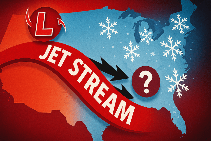
Milwaukee, WI – Wisconsin residents are being urged to prepare for a turbulent stretch of weather as multiple Alberta Clippers may bring pop-up snowstorms every other day from Saturday, December 7, through Friday, December 13, according to new guidance from meteorologists. The pattern threatens repeated travel disruptions across Wisconsin and the broader Upper Midwest.
According to the National Weather Service (NWS), an active northwest flow will funnel a series of fast-moving disturbances across the Great Lakes region next week. These systems—often referred to collectively as the “Clipper Express”—are known for producing quick-hitting snow bands, gusty winds, and sharp temperature drops.
The first system is expected Saturday night, with additional clippers likely to follow every 48 hours. While snowfall totals for each individual wave remain uncertain, the NWS cautions that even light accumulations may create hazardous travel, especially during morning and evening commutes across southeastern Wisconsin, including Milwaukee, Waukesha, and Racine counties.
Forecasters say the exact track of each disturbance will determine where snow develops and how intense each burst becomes. Alberta Clippers typically strengthen quickly and can shift direction with little notice, making short-term updates crucial between December 7 and 13.
Travel impacts may extend statewide—from Madison and Green Bay to Eau Claire and La Crosse—as the Upper Midwest remains positioned directly beneath the active jet stream guiding these storm systems.
Residents are urged to stay updated through trusted weather sources as details evolve. The NWS notes it is still too early to determine precise timing and totals but stresses that the frequency of these systems is the main concern.


