
New York – A steady stream of showers is already moving across western New York this morning, but the real concern builds quickly by mid-afternoon as stronger storms begin to organize. Roads are wet early, and conditions may turn hazardous fast as heavier storms develop.
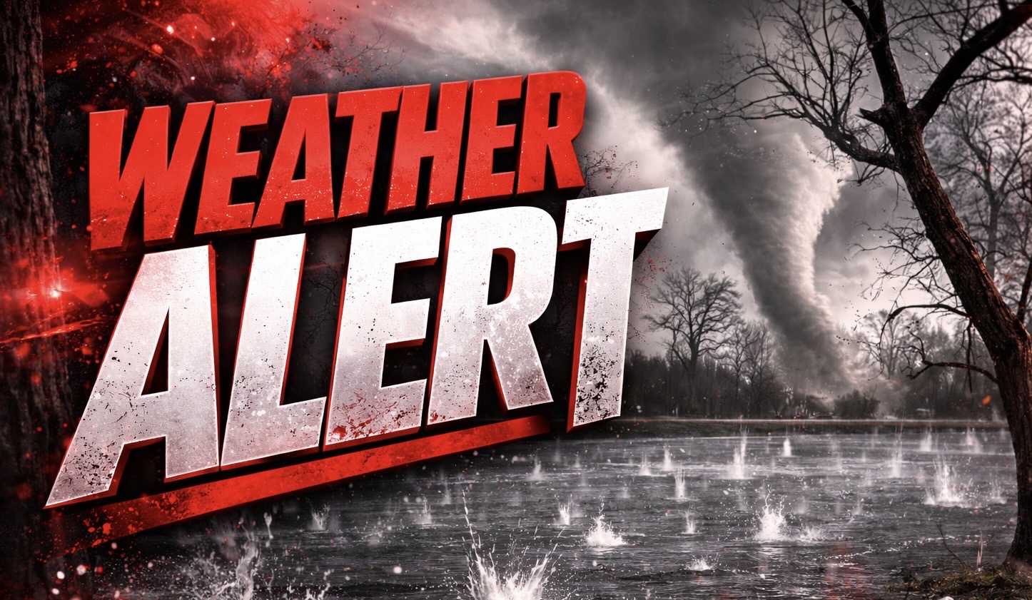
According to the National Weather Service in Buffalo, multiple rounds of thunderstorms are expected today, with the greatest severe threat developing from mid-afternoon through early evening. Damaging wind gusts are the primary concern, though large hail and an isolated tornado cannot be ruled out.

Across Buffalo, Niagara Falls, and Rochester, the highest risk centers along the I-90 corridor and areas south of Lake Ontario. Drivers should expect sudden downpours that could drop visibility below a mile, along with gusty winds capable of downing tree limbs and causing scattered power outages.
Plan ahead now. Charge devices, secure outdoor furniture, and avoid unnecessary travel during peak storm timing. If warnings are issued, move indoors immediately and stay away from windows.
Storms will continue in waves into the evening before gradually weakening. However, the unsettled pattern lingers into midweek, with additional showers and storms possible as April begins.
Temperatures remain mild, but the active spring setup keeps the region on alert for repeated rounds of rain and thunder.
Storms are already moving through parts of western New York. Are you seeing steady rain yet, or is the worst still approaching your area?

