

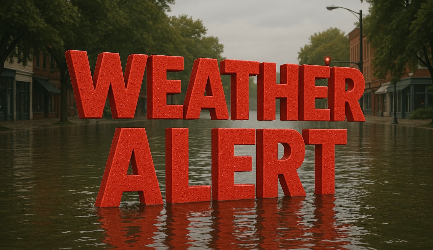
Norfolk, Virginia – Eastern Virginia faces a dangerous combination of severe thunderstorms and flooding today as strong storms capable of producing wind gusts over 60 mph, isolated tornadoes and torrential rainfall develop this afternoon and evening. The greatest concern extends across Hampton Roads and the Virginia Tidewater, where repeated thunderstorms could trigger flash flooding.
According to the National Weather Service in Wakefield and the NOAA Weather Prediction Center, severe thunderstorms are expected to develop between 2 p.m. and 10 p.m. as a slow-moving frontal boundary lingers across the region. The Storm Prediction Center places much of eastern Virginia under a Level 2 of 5 Slight Risk for severe weather, while areas farther northwest remain under a Level 1 Marginal Risk. Damaging straight-line winds are the primary hazard, though an isolated tornado cannot be ruled out.

At the same time, the Weather Prediction Center has placed portions of the Virginia Tidewater under a Moderate Risk (Level 3 of 4) for excessive rainfall, where numerous flash floods are likely. The repeated movement of thunderstorms over the same locations could produce several inches of rain in a short period, especially across Hampton Roads, Williamsburg, the Northern Neck and surrounding coastal communities. Elsewhere across eastern Virginia and northeast North Carolina, a Slight Risk for excessive rainfall means scattered flash flooding is also possible.
Communities including Norfolk, Virginia Beach, Chesapeake, Hampton, Newport News, Suffolk, Williamsburg and Elizabeth City should prepare for rapidly changing weather conditions during the afternoon commute and evening hours. Flood-prone streets, low-water crossings and urban drainage systems may become overwhelmed if heavy rain persists, while isolated power outages and downed tree limbs are possible where the strongest wind gusts occur.
Residents should have multiple ways to receive weather warnings and be ready to move indoors immediately if a Severe Thunderstorm Warning or Tornado Warning is issued. If a Flash Flood Warning is issued, avoid travel whenever possible and never drive through flooded roadways. Even shallow water can hide washed-out pavement or sweep vehicles away.
The threat is expected to continue into tonight before gradually diminishing. Additional Severe Thunderstorm Warnings, Flash Flood Warnings and possible Tornado Warnings may be issued as storms intensify across eastern Virginia and the Mid-Atlantic coast.
