

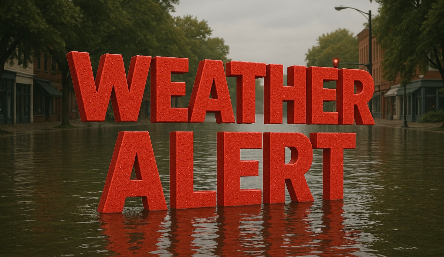
Norfolk, Va. – Heavy rain will continue across southeast Virginia and northeast North Carolina throughout Thursday, raising the threat of flash flooding, road closures and hazardous travel conditions. The greatest impacts are expected in urban areas and locations with poor drainage as repeated rounds of rain move through the region.
According to the National Weather Service in Wakefield, a Flood Watch remains in effect through this evening for Southside Hampton Roads and northeast North Carolina. Widespread rainfall totals of 2 to 4 inches are expected, with localized amounts up to 5 inches possible where the heaviest bands of rain persist.

Communities including Norfolk, Virginia Beach, Chesapeake, Suffolk, Franklin, Emporia, Elizabeth City and surrounding areas could experience flooding of streets, intersections and low-lying locations. The combination of saturated ground and periods of moderate to heavy rainfall may also lead to rapid rises on small streams and creeks.
Motorists should expect slower travel, reduced visibility and the potential for water-covered roads throughout the day. Officials urge drivers to never attempt to cross flooded roadways, as water depths can be difficult to judge and road damage may be hidden beneath the surface.
Residents should closely monitor weather alerts through the evening and be prepared for additional Flood Advisories or Flash Flood Warnings if rainfall intensifies. Anyone living in flood-prone areas should have a plan to move to higher ground if flooding develops.
