
Springfield, Illinois – A stretch of mild February weather will continue across central Illinois through the end of the workweek, with daytime temperatures climbing into the 40s and 50s and only limited chances for precipitation.
According to the US National Weather Service Central Illinois, overnight lows tonight are expected to fall into the mid-20s, followed by warmer conditions on Wednesday. High temperatures Wednesday are forecast to range from the low to upper 40s, with sunshine helping temperatures rise above seasonal averages.

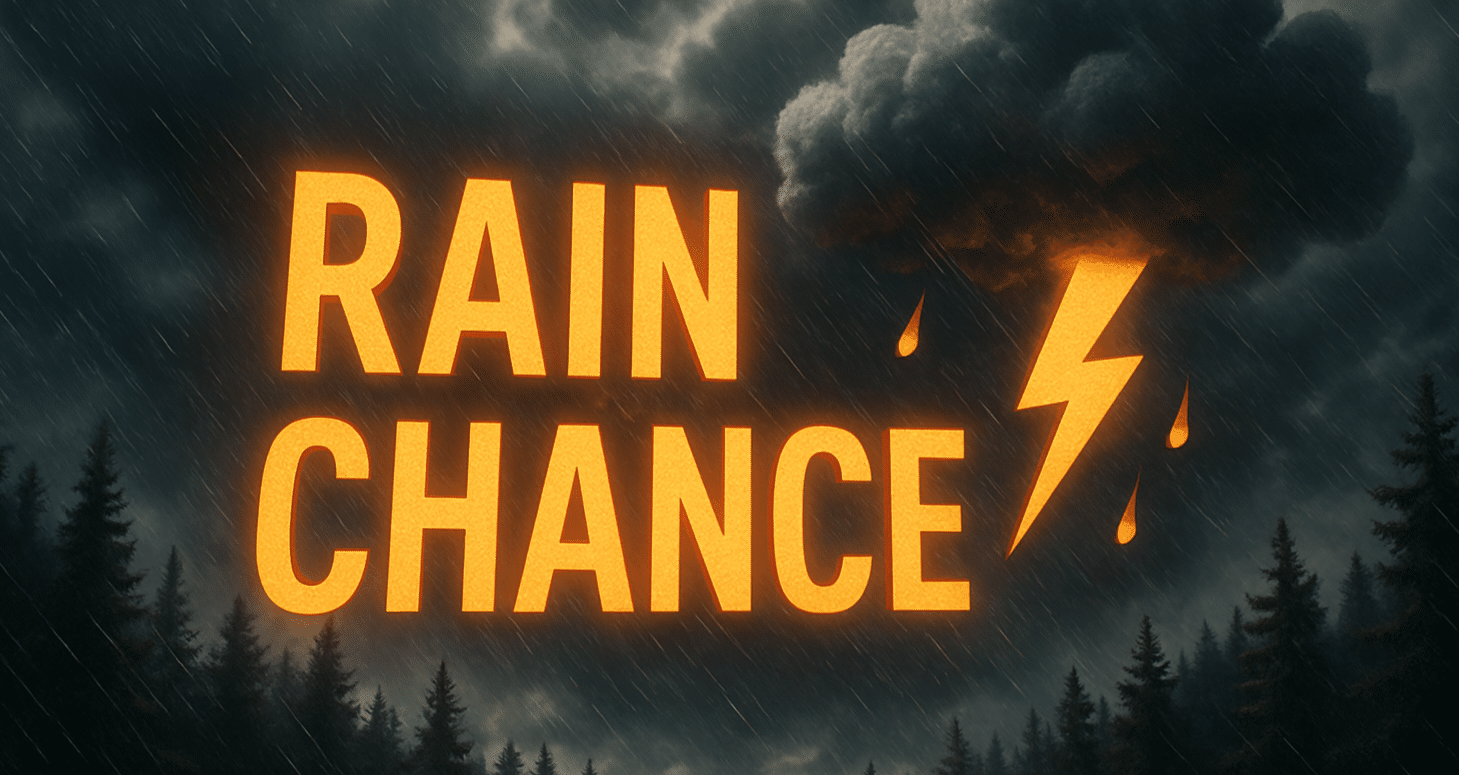
Thursday will remain mild, with highs again reaching the mid-40s, though forecasters note a 10 to 20 percent chance of precipitation during the afternoon and evening hours. Any precipitation that develops may fall as rain or a rain-snow mix, but impacts are expected to be minimal due to warm daytime temperatures.
By Friday, temperatures are forecast to climb even higher. Some locations across central Illinois could reach the low to mid-50s, marking one of the warmest days so far this month. Dry conditions are expected to dominate as the warming trend continues.
Road conditions are expected to remain favorable across major travel corridors, including Interstate 55, Interstate 74, Interstate 57, and Interstate 72. Commuters should remain alert during the colder overnight and early morning hours, but widespread icy conditions are not anticipated.
Cities such as Springfield, Peoria, Bloomington-Normal, Decatur, and Champaign-Urbana are all expected to see similar conditions, making this a relatively quiet weather period for the region.
This forecast may be especially relevant for commuters, students, and young workers, as mild temperatures and dry roads support smoother daily travel through the end of the week.
Residents are encouraged to continue monitoring National Weather Service updates in case precipitation chances or temperature trends change later this week.

