

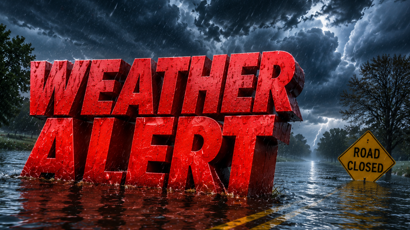
Philadelphia, Pa. – Dark clouds continue to build across the Delaware Valley late this morning, while smoky skies slowly give way to a much more active weather pattern. Wet roads, rapidly changing visibility and repeated rounds of thunderstorms could create hazardous travel through the day, especially across Philadelphia and neighboring communities.
According to the National Weather Service in Mount Holly, a Flood Watch remains in effect from 10 a.m. through late tonight for Philadelphia, southeastern Pennsylvania, much of New Jersey, northern Delaware and nearby counties. Forecasters expect multiple rounds of heavy showers and thunderstorms capable of producing 2 to 3 inches of rain in as little as two hours, increasing the threat for flash flooding in urban areas, along creeks and in low-lying neighborhoods.

Some storms may become severe this afternoon with damaging wind gusts. An isolated tornado cannot be ruled out, although the primary concerns remain torrential rainfall and localized flooding. Conditions may change quickly as storms develop.
Motorists should prepare for reduced visibility and standing water on I-95, I-76, the Pennsylvania Turnpike, Route 202 and the Schuylkill Expressway. Never drive through flooded roadways. Plan extra travel time and monitor alerts if you have afternoon or evening plans.
Air quality is also a concern today. A Code Orange Air Quality Alert remains in effect for the Philadelphia metropolitan area. Sensitive groups, including children, older adults and people with asthma or heart disease, should limit prolonged outdoor activity until pollution levels improve.
Weather conditions improve Sunday with mostly sunny skies and highs around 85 degrees. Monday stays warm and dry before another round of showers and thunderstorms returns Tuesday, followed by additional rain chances into Wednesday.
Looking farther ahead, the 6-to-10-day outlook favors above-normal temperatures across the region heading into late next week, keeping a midsummer pattern in place.
Warnings may be updated quickly if storms intensify. If you’re seeing flooding or rapidly changing conditions where you are, share what you’re experiencing and continue following the latest National Weather Service updates.
Five-Day Forecast for Philadelphia, Pennsylvania
- Sunday: Mostly sunny with a high near 85°F. Northwest wind around 10 mph with gusts up to 20 mph.
- Monday: Sunny and warm with a high near 86°F.
- Tuesday: Showers likely with possible afternoon thunderstorms. High near 84°F. 60% chance of rain.
- Wednesday: Showers likely with thunderstorms possible after 2 p.m. High near 85°F. 60% chance of rain.
- Thursday: Mostly sunny with a high near 82°F, followed by warmer-than-normal temperatures expected later next week.
