
Las Vegas, Nev. – Dangerous heat will grip southern Nevada through Wednesday before monsoonal storms push into the region later this week, bringing the risk of dry lightning and new wildfires. Temperatures will ease by Sunday, but not before several days of weather hazards.
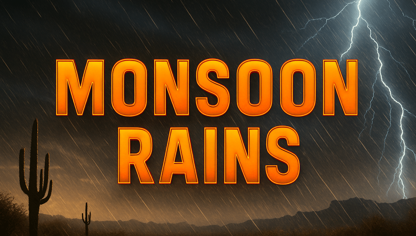
According to the National Weather Service in Las Vegas, Extreme Heat Warnings and Heat Advisories remain in effect until Wednesday evening, with temperatures expected to run well above seasonal norms. By Thursday, modest monsoon moisture will move into southeastern Nevada and northwestern Arizona, triggering scattered showers and thunderstorms through Saturday.
Forecasters warn that while rain is possible, storms may also produce dry lightning, which could ignite new fires amid gusty winds and frequent lightning strikes. Rural areas, open desert, and mountain foothills face the highest ignition potential.
Residents should limit outdoor activity during peak heat hours, hydrate frequently, and avoid travel during storms due to reduced visibility and sudden wind gusts. Fire safety officials advise against outdoor burning and recommend securing any flammable materials.
Conditions are expected to dry out Sunday into Monday, with below-normal temperatures and sunny skies returning early next week.
Five-Day Forecast
- Tuesday: Highs near 110°F, sunny, Extreme Heat Warning
- Wednesday: Highs 107°F, hot and dry, Heat Advisory
- Thursday: Highs 102°F, scattered thunderstorms, lightning risk
- Friday: Highs 100°F, thunderstorms possible, gusty winds
- Saturday: Highs 99°F, showers and storms, localized flooding risk
- Sunday: Highs 95°F, sunny, dry conditions return

