
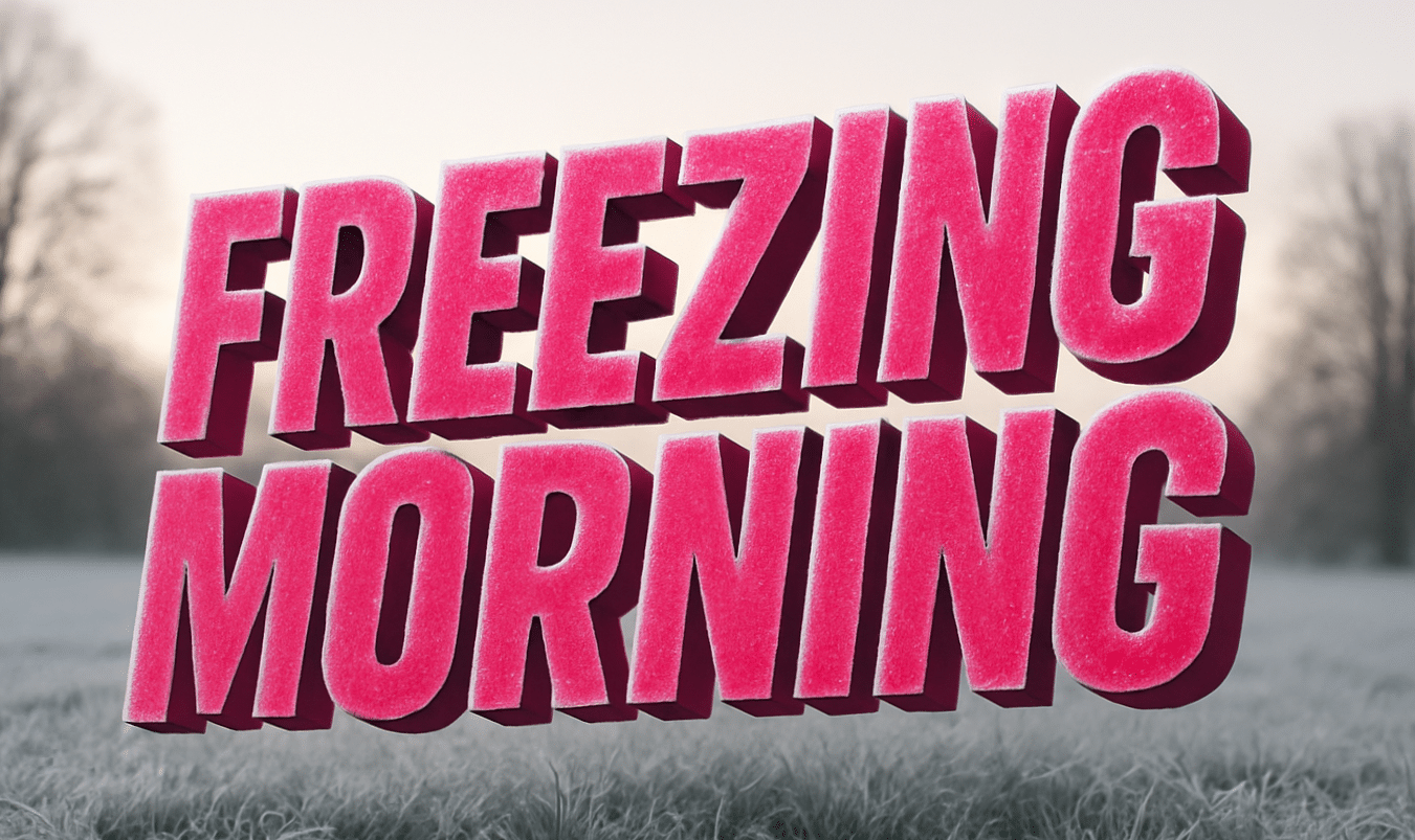
Maryland – Frost coats parked cars and brick sidewalks this morning as winter tightens its grip on Baltimore. The first Monday of 2026 starts cold, quiet, and deceptively calm.
Temperatures hovered near 29 degrees early, setting the stage for slick patches on bridges and untreated roads. Calm winds help conditions feel manageable, but shaded streets and harbor-adjacent areas may hide black ice through mid-morning. Extra caution is advised along I-95, I-83, and the Baltimore Beltway as school traffic ramps up.

According to the National Weather Service, clouds gradually thin today, allowing sunshine to push highs into the low 40s by afternoon. Tonight stays mostly cloudy, with temperatures holding near the mid-30s, limiting refreeze risks but keeping pavement cold.
Tuesday continues the warming trend. Clouds linger, yet highs climb near 50 degrees by afternoon. That shift becomes more noticeable Wednesday, when bright sun and west winds lift temperatures into the mid-50s. Coats may feel optional by midday, to be fair.
The pattern turns unsettled late Thursday. Clouds thicken by evening, and rain chances increase into Friday. Highs reach the low 60s, a striking change for early January. Wet roads could combine with lingering cold surfaces overnight, creating localized slick spots if temperatures dip quickly.
Drivers should stay alert during early mornings this week, especially after rainfall. Flash freezing remains a concern during January temperature swings.
Winter has not finished its work, but Maryland gets a brief break. Conditions remain fluid as systems track east.
How did the cold feel on your commute today?
Five Day Outlook for Baltimore, MD
- Monday: Gradual clearing, high near 42
- Tuesday: Mostly cloudy, high near 50
- Wednesday: Sunny, high near 55
- Thursday: Mostly sunny, high near 54
- Friday: Rain possible, high near 62

