
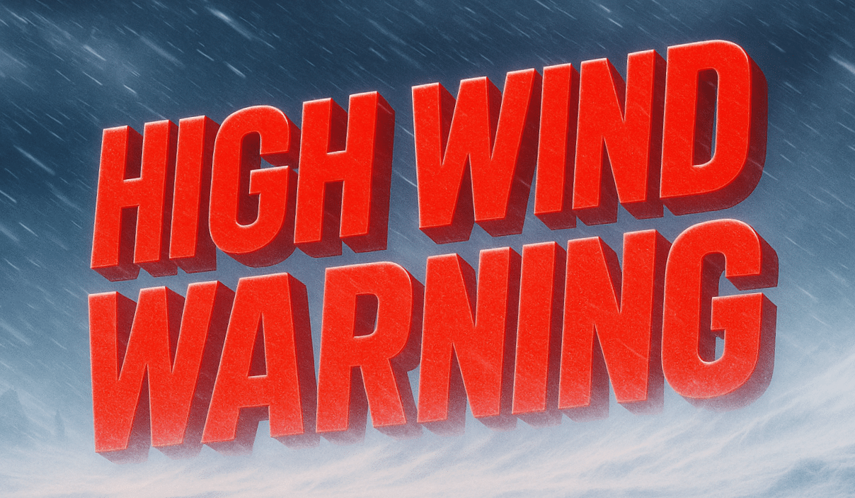
Goodland, Kansas – A powerful wind event is poised to sweep from the Upper Midwest into the central Plains and Heartland late Thursday night through Friday, threatening dangerous travel, power disruptions, and rapidly increasing fire danger across at least seven states.
According to the National Weather Service in Goodland and multiple regional offices, High Wind Watches are in effect from Montana and Wyoming through the Dakotas, Nebraska, Colorado, and Kansas. Northwest winds of 35 to 45 mph are expected to become widespread, with gusts ranging from 60 to as high as 70 mph in parts of western Kansas, eastern Colorado, and southwest Nebraska.

Travel will be especially hazardous on open highways including I-70, US-83, US-36, and I-80, where strong crosswinds may make it difficult to control high-profile vehicles such as semis, campers, and farm equipment. Blowing dust is expected in agricultural areas, leading to sudden drops in visibility and rapidly changing road conditions.
Beyond travel concerns, very dry air combined with extreme winds will sharply elevate grassfire danger. Any spark could spread quickly, particularly across the Plains where fuels remain dry. Outdoor burning is strongly discouraged.
The strongest winds are expected Friday morning through midafternoon before gradually easing. Officials urge residents to secure loose objects, monitor updates, and avoid unnecessary travel during peak wind periods as additional warnings may be issued.

