
Knoxville, Tennessee — One hundred sixty million Americans are prepared and monitoring a major winter system now evolving into a dangerous ice storm threat, as freezing rain and ice accumulation are expected across portions of Tennessee and North Carolina through Monday, Jan. 26.
For the southern Appalachians and Tennessee Valley, the dominant hazard is freezing rain rather than snow. According to the National Weather Service, a shallow layer of Arctic air at the surface combined with warmer air aloft will create ideal conditions for ice accretion, particularly across eastern Tennessee, western North Carolina, and the higher terrain of the southern Appalachians.
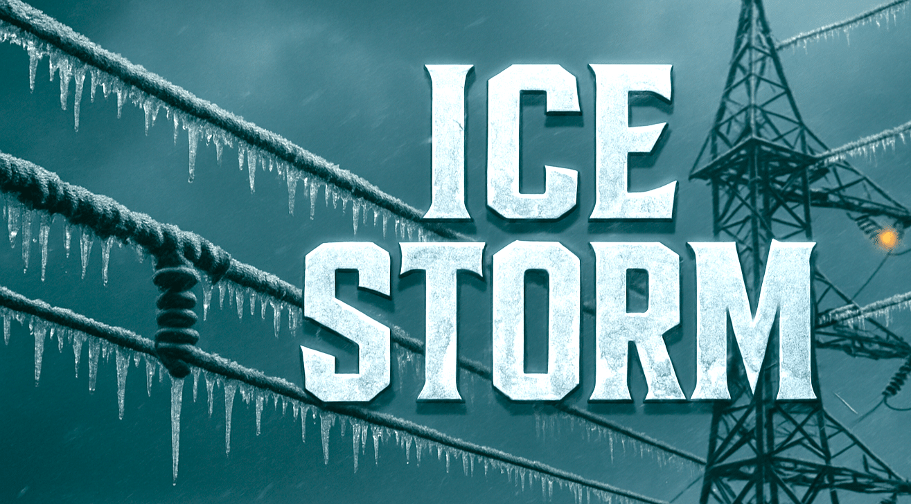
The National Weather Service Weather Prediction Center places the Tennessee–North Carolina region within a moderate to high-confidence zone for impactful icing from Friday through Sunday. Ice accumulations of one-quarter inch or more are possible, with locally higher amounts in elevated areas capable of downing trees, damaging power lines, and causing prolonged power outages.
Travel conditions are expected to deteriorate rapidly once freezing rain begins. Major corridors at risk include Interstate 40, Interstate 81, Interstate 26, and U.S. Route 441 through the Smoky Mountains. Transportation officials warn that mountain passes, bridges, and overpasses may become impassable, and road treatments may offer limited effectiveness during sustained icing.
Utility companies across both states are preparing for the possibility of service interruptions as ice loads increase on infrastructure. Emergency managers are urging residents to complete preparations ahead of peak impacts, including charging electronic devices, securing alternative heat sources, and avoiding unnecessary travel once icing develops.
Motorists are strongly advised to stay off roadways during freezing rain events, especially in mountainous terrain where conditions can deteriorate rapidly. Emergency response times may be delayed if roads become blocked by ice or downed trees.
Behind the storm, Arctic air is expected to deepen across Tennessee and North Carolina, keeping temperatures below freezing and preventing ice from melting. Wind chills may drop into the teens or single digits at higher elevations, extending hazardous conditions even after precipitation ends.
While a potential pattern shift may occur between Jan. 28 and Feb. 1, forecasters caution that much of the Midwest and East Coast will remain locked in a deep Arctic freeze into early February, prolonging ice-related impacts across the region.

