
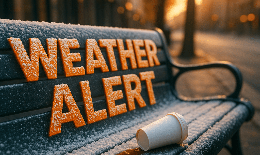
CHICAGO, Illinois — A stretch of much colder weather will continue across Chicago this week, with temperatures remaining well below seasonal averages and periodic chances for snow, according to the National Weather Service.
Monday begins with gusty west winds and morning snow showers, keeping highs between 17 and 26 degrees. Wind chills early in the day will make conditions feel even colder, though forecasters note that winds will gradually diminish as the day goes on. Overnight lows will fall sharply into the 11 to 19 degree range, setting the tone for a frigid week ahead.
Tuesday remains cold and mostly cloudy, with highs struggling to reach 26 to 30 degrees. While widespread snowfall is not expected during the day, the persistent cold will keep any untreated surfaces slick, especially during the morning and nighttime hours.
By Wednesday, another chance for light snow develops during the afternoon and evening. Highs will hover near 28 to 32 degrees, with nighttime lows dropping into the single digits and teens. Any snow accumulation appears light, but even minor snowfall could impact travel due to the cold pavement temperatures.
New Year’s Eve and New Year’s Day will stay chilly, with highs only reaching 15 to 23 degrees on Thursday before slightly moderating into the low to mid-20s Friday. Overnight lows through the end of the week remain consistently cold, ranging from 6 to 19 degrees.
Residents are encouraged to bundle up, limit prolonged exposure to the cold, and prepare vehicles and homes for extended winter conditions. Motorists should remain alert for icy patches, particularly during early morning and nighttime hours.

