
Springfield, IL – Central Illinois is preparing for another round of accumulating snow Saturday, with several hours of steady snowfall likely to create slick and hazardous travel conditions across the region, according to the National Weather Service (NWS) Lincoln.
Snow is expected to begin shortly after sunrise, with the highest-impact period stretching from 7 a.m. to 3 p.m. Forecast data shows widespread probabilities above 80–95% across Bloomington, Champaign, Danville, Peoria, Decatur, and Springfield during the late morning and early afternoon. According to the NWS, cold temperatures will allow snow to accumulate quickly on roadways.

Most locations across central Illinois can expect 2–5 inches of snow, with the highest totals near the I-74 corridor, including Peoria, Bloomington, Champaign, and Danville where 4–6 inches are possible. Farther south—Effingham, Litchfield, and Olney—amounts trend lower at 1–3 inches.
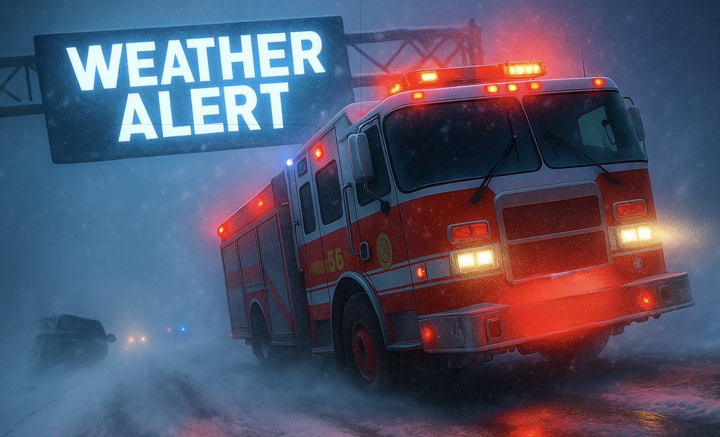
Visibility may drop to one-half mile or less at times due to falling snow. Northwest winds will range from 10–15 mph, contributing to additional blowing of snow in open areas. The NWS notes that temperatures will remain cold throughout the day, increasing the risk of untreated roads becoming snow-covered and slick.
A reinforcing shot of arctic air arrives Sunday, bringing bitterly cold conditions with highs only in the teens and single-digit lows Sunday night.
Drivers are urged to slow down, allow extra travel time, and use caution on bridges, ramps, and untreated rural roads. Residents should also be alert for slippery sidewalks and stairs.

