
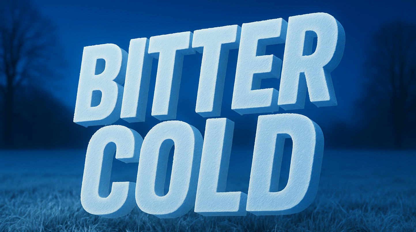
Charleston, W.Va. — Light snow is exiting to the east this morning, but dangerous cold conditions are expected to build across West Virginia as an arctic air mass moves into the region, according to the National Weather Service in Charleston.
Forecasters warn that roadways appearing wet this morning may be icy, especially due to lingering cold temperatures. While snowfall is ending, black ice remains a concern for early travelers.

High temperatures today are expected to struggle to reach the upper 20s in the lowlands and remain in the teens for the mountains. Overnight lows will drop into the teens for most areas, with single-digit temperatures possible in northern mountain locations.
A reinforcing shot of arctic air arrives on Martin Luther King Jr. Day, bringing the coldest temperatures Monday night through Tuesday night. By Tuesday morning, wind chills are forecast to plunge to around -10°F to -20°F in the mountains, while lowland areas may see wind chills near or below zero.
The National Weather Service notes that higher elevations will face the greatest impacts, but dangerous cold will be widespread across the region. Officials urge residents to limit outdoor exposure, dress in multiple layers, and bring pets indoors to prevent frostbite and hypothermia.
Additional updates and cold weather safety information can be found at weather.gov/rlx.

