
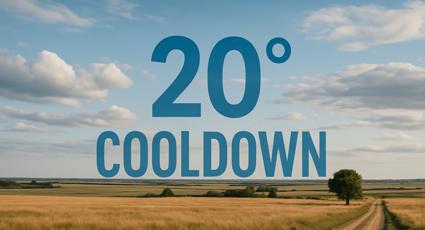
San Angelo, Texas – A strong cold front swept across West Central Texas overnight, dropping temperatures by as much as 25 degrees and leaving residents with a fall-like Saturday. Many locations are waking up in the 60s, with highs this afternoon expected only in the mid to upper 70s.
According to the National Weather Service in San Angelo, scattered showers and isolated thunderstorms will develop throughout the day, especially south of Interstate 10. Rainfall coverage will remain hit-or-miss, but any heavier downpours could produce locally heavy rain in spots.
Communities including Abilene, San Angelo, and Junction may see occasional showers, while areas further north could remain dry. Drivers along U.S. Highway 87 and I-10 should be alert for sudden changes in visibility during showers. Emergency managers recommend avoiding flooded low-water crossings, which can become hazardous quickly during downpours.
The cool pattern will linger through the weekend, with another chance of rain possible Sunday before conditions gradually dry out early next week.

