
Missoula, Mont. – Avalanche danger has surged across western Montana as a powerful winter storm dumps feet of snow across the Bitterroot and surrounding mountain ranges.
According to the West Central Montana Avalanche Center in Missoula, a Backcountry Avalanche Warning remains in effect until 6 a.m. Friday for mountain terrain including the Bitterroot Mountains from Lost Trail Pass to Lolo Pass, the Rattlesnake Mountains, and high elevations above Seeley Lake.

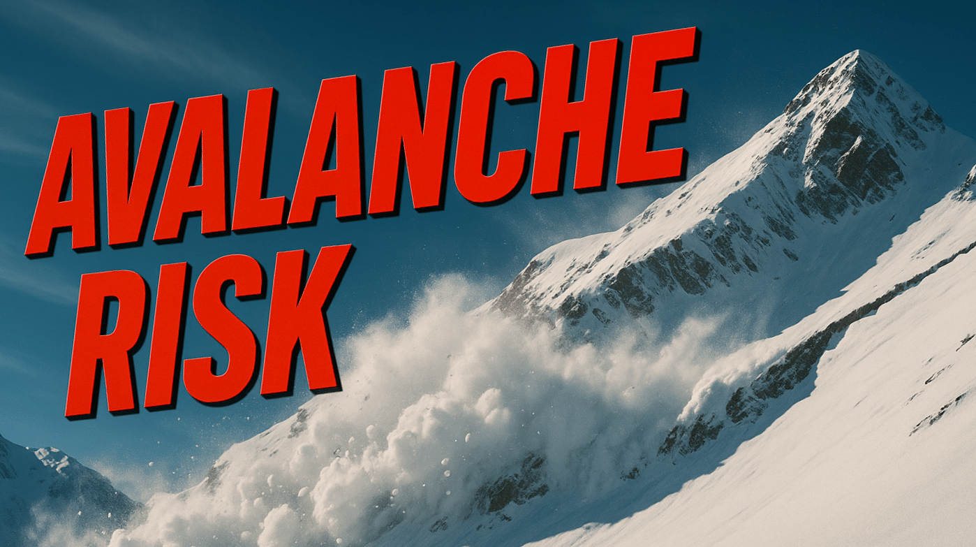
The storm is expected to produce 1 to 3 feet of new snowfall combined with strong winds, rapidly building unstable snow layers across the region. Avalanche forecasters say these conditions have pushed the avalanche danger rating to HIGH, meaning both natural and human-triggered avalanches are likely.
Large avalanches may travel unusually long distances during this storm cycle, potentially running into mature forests, valley floors, or flat terrain below steep slopes.
Backcountry recreation areas along Highway 93 near Lost Trail Pass, U.S. Highway 12 at Lolo Pass, and mountain terrain near Seeley Lake could see the most dangerous conditions through Thursday night.
Officials urge snowmobilers, skiers, and hikers to avoid all avalanche terrain, including steep slopes, open bowls, and canyon runouts where debris can travel far from the starting zone.
The avalanche warning remains active through early Friday morning, and forecasters say dangerous snowpack conditions could persist even after the heaviest snowfall ends.

