
Watertown, New York – A fresh round of lake effect snow could snarl commutes and cut visibility across northern New York from Tuesday morning through Thursday evening, with Jefferson and Oswego counties expected to see the most persistent impacts.
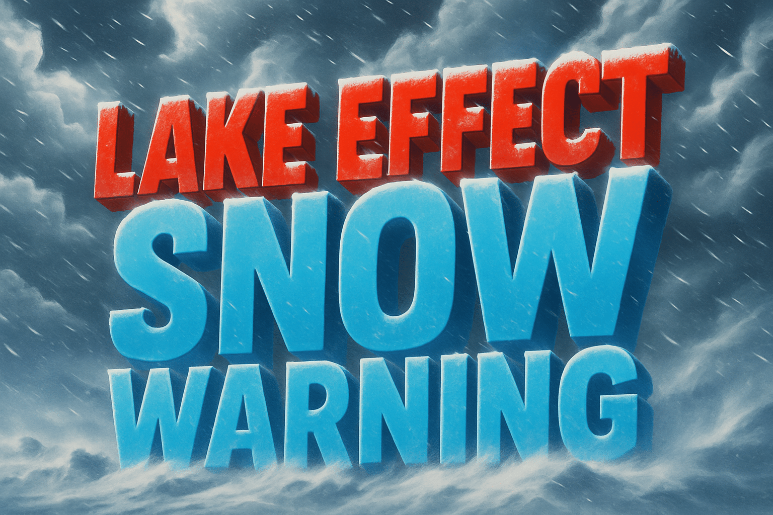
According to the National Weather Service in Buffalo, a Lake Effect Snow Warning is in effect from 7 a.m. Tuesday to 7 p.m. Thursday for Jefferson, Oswego, Lewis, and northern Cayuga counties. The snow band is expected to drift north and south over the course of several days, producing locally heavy snowfall with rapidly changing road conditions.

Watertown, Lowville, and Fulton are all within the warning zone. Blowing snow may lead to dangerous travel on portions of I-81 and nearby rural highways. The sheriff’s office in Jefferson County lifted a no unnecessary travel advisory Monday afternoon but warned that additional restrictions could return as conditions evolve.
Extensive ice on Lake Erie may reduce snow totals across parts of Western New York, but impacts east of Lake Ontario remain significant. Residents should plan for reduced visibility, drifting snow, and potential school or service delays through midweek.
Warnings remain in effect through Thursday night, with additional advisories possible as lake-effect bands shift.

