
Chicago, Illinois – Bitterly cold temperatures and dangerous wind chills are expected across northern Illinois late Sunday night through early Tuesday morning, according to the National Weather Service Chicago.
In a social media update posted Sunday morning, the National Weather Service said an arctic front will bring sub-zero wind chills beginning late Sunday night and persisting into Tuesday morning. The coldest conditions are expected overnight into early Monday, with wind chills ranging from 15 below to as low as 25 below zero, especially in northwest portions of the region.

Forecasters also warned that the prolonged cold may lead to a buildup of river ice, increasing the risk for localized ice jams. Officials advised residents near rivers and streams to remain aware of changing conditions.
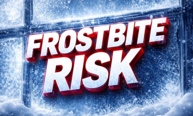
The National Weather Service highlighted increased risks of frostbite and hypothermia, noting that exposed skin can become frostbitten in a short period of time under these conditions. Children, older adults, outdoor workers, and anyone spending extended time outside are particularly vulnerable.
Residents are encouraged to limit time outdoors, dress in multiple warm layers, cover all exposed skin, and bring pets indoors when possible. The agency also advised people to bundle up and take precautions when venturing outside.
The cold snap is expected to ease gradually after Tuesday morning, with temperatures moderating later in the week.

