
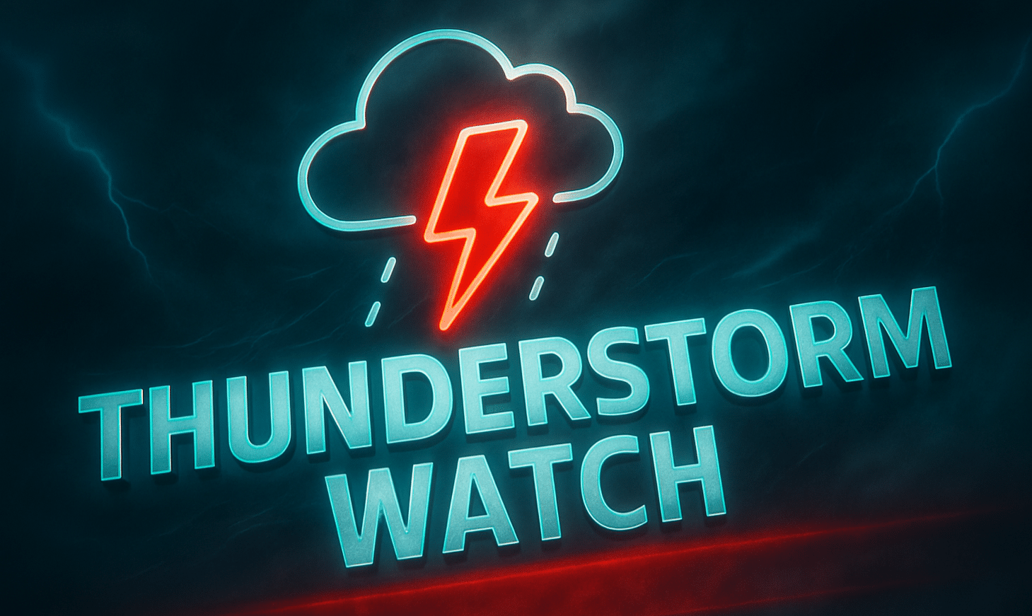
Cheyenne, Wyoming – Severe storms are set to rattle eastern Wyoming through Wednesday night, with strong winds and hail possible across four counties under a fresh thunderstorm watch.
According to the National Weather Service Storm Prediction Center, a Severe Thunderstorm Watch is in effect until 10 p.m. MDT for Converse, Crook, Niobrara, and Weston Counties. Storms in this region could bring damaging wind gusts over 60 mph and hail up to one inch, prompting urgent safety warnings.
Localized impacts may include downed tree limbs and power lines, especially along U.S. Highway 20 and I-25 corridors, where strong wind bursts are likely. Outdoor activities and evening travel should be postponed until the storm risk subsides. Residents are urged to secure loose items, charge mobile devices, and stay tuned for updated warnings.
While no tornado warnings are in effect currently, isolated storm cells could quickly intensify. Emergency alerts may follow if conditions worsen.
The watch remains in place until late Wednesday evening, with the strongest storm activity expected before 9 p.m. Additional alerts could be issued if storms redevelop overnight.

