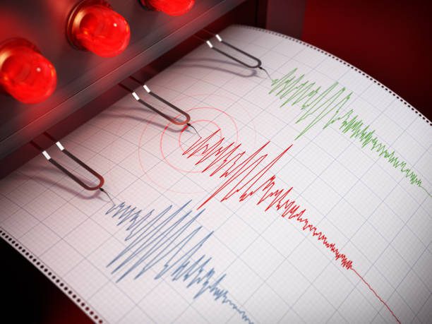
Mammoth, WY – A magnitude 3.8 earthquake was recorded early Tuesday morning about 23 kilometers south-southwest of Mammoth, Wyoming, according to the University of Utah Seismograph Stations. The tremor struck at approximately 7:22 a.m. local time at a depth of 9.6 kilometers.
According to seismologists, the quake’s epicenter lies within the northern Yellowstone region—an area known for frequent low-to-moderate seismic activity. Early reports indicate light shaking consistent with intensity level III on the Community Internet Intensity Map, meaning it was felt by some residents but caused no reported damage.
Six “Did You Feel It?” responses were logged as of Tuesday morning, suggesting limited but noticeable movement across the nearby park region. No injuries or structural damage have been reported, and Yellowstone National Park operations remain unaffected.
The University of Utah Seismograph Stations continues to monitor aftershock potential and regional seismicity. Earthquakes of this magnitude are generally considered minor but serve as reminders of the ongoing geologic activity beneath the Yellowstone Plateau.
This article was produced by a journalist and may include AI-assisted input. All content is reviewed for accuracy and fairness.
Follow us on Instagram & Facebook for more relevant news stories and SUPPORT LOCAL INDEPENDENT NEWS! Have a tip? Message us!


