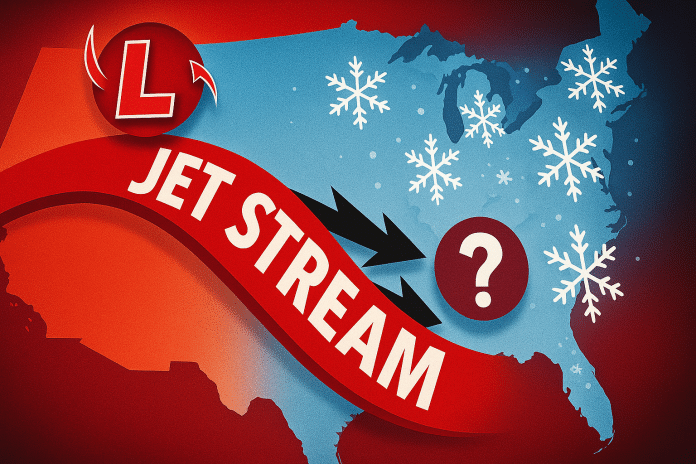
Madison, Wisconsin – A push of Arctic air is expected to influence Wisconsin between Jan. 18 and Jan. 22, bringing a shift toward cooler conditions as a clipper system reinforces a broader pattern change across the Midwest and eastern United States.
According to the Climate Prediction Center’s 6–10 day temperature outlook, temperature probabilities across Wisconsin are more mixed than surrounding states. While central and southern portions of the state lean toward below-normal temperatures, northern Wisconsin is one of the few areas in the region with a signal favoring near- to above-normal temperatures during this period. This reflects the state’s position near the boundary between colder Arctic air to the south and slightly milder air farther north.
Daytime high temperatures are still expected to trend cooler compared to recent conditions, particularly across southern Wisconsin, with overnight lows dropping more noticeably during clear periods. Increasing northwest winds behind the passing clipper system may add a sharper chill, especially during overnight and early morning hours, even in areas where temperatures remain closer to seasonal averages.
Despite the colder pattern, precipitation chances are expected to remain near normal for this time of year. Forecast guidance does not show a strong signal for widespread snow during the Jan. 18–22 window, as the Arctic air mass influencing the region is expected to be relatively dry. Any snow that does occur would likely be light and brief, associated with fast-moving systems or localized lake-effect activity.
For Wisconsin commuters, students, and outdoor workers, the primary impacts during this period will be cooler temperatures, colder nights, and fluctuating wind chills, rather than significant winter storms. Residents are encouraged to monitor forecast updates, particularly as temperature gradients sharpen across the state later this week.


