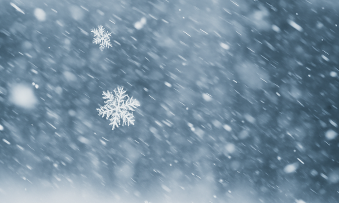
Wisconsin wakes under a steel-gray sky this Saturday as a stiff northwest wind sweeps across Milwaukee, rattling loose branches and pushing cold air over wet pavement. The air feels sharp and wintry, giving residents an early taste of what’s coming later today. Anyone returning from post-Thanksgiving travel should prepare now for increasingly hazardous conditions as snow develops and intensifies.
Clouds thicken through the morning while temperatures hold in the mid-30s. Meteorologists are tracking a strong disturbance climbing north from Illinois. Models hint at a quick transition from light flakes to heavier, steadier snow by early afternoon. Travel conditions along I-94, I-43 and Highway 41 could deteriorate fastest once the first heavier band arrives. Plan extra time and reduce speed, especially on bridges and elevated ramps where early slush may form.
By mid-afternoon, confidence is high for 4 to 6 inches of accumulation, with some localized pockets approaching higher totals if bands stall. Winds increase from the southeast late day, pushing gusts near 25 mph and reducing visibility in open stretches. To be fair, not every neighborhood will see the same totals, but snowfall rates could spike quickly. Conditions may deteriorate rapidly after sunset.
Snow remains likely into the evening before tapering slowly after midnight. Sunday brings a chilly air mass and lingering flurries, with highs near 32°. The ground stays frozen, and shaded surfaces may hold slick patches through the day. Monday turns mostly cloudy with highs near 21°, while Tuesday and Wednesday stay cold but quieter.
National outlook maps show a below-normal temperature pattern expanding into the Great Lakes between December 2–6. This deeper cold push could support additional snow chances next week, a clear early-season Winter Tease for Milwaukee.


