
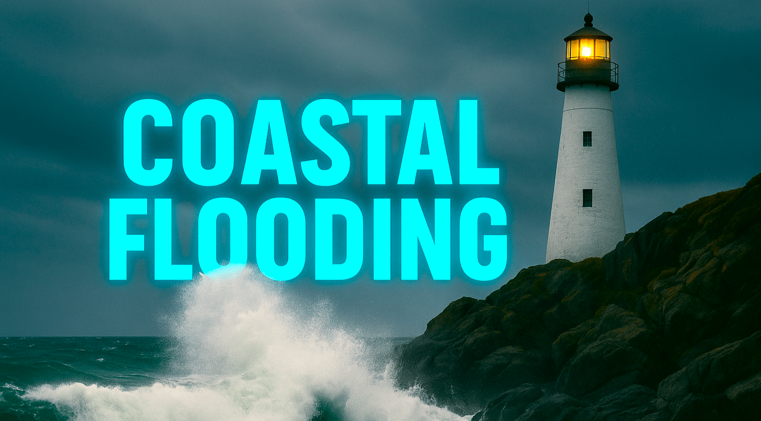
WILMINGTON, N.C. – Breezy winds and high tides are pushing seawater onto low-lying roads and yards across coastal North Carolina this Sunday, with a Coastal Flood Advisory remaining in effect through late afternoon. Minor flooding near the Cape Fear River could affect travel near Battleship Road, U.S. Highway 421, and I-140, especially around midday high tide.
According to the National Weather Service in Wilmington, up to a half foot of water may flood vulnerable spots near the shoreline from Wilmington southward. The advisory remains in effect from 1 p.m. to 5 p.m. EDT Sunday, with another round of minor tidal flooding possible Monday. Drivers are urged to allow extra travel time and avoid driving through standing water.
Winds from the northeast at 20 to 30 mph will ease by Monday morning, ushering in cooler and drier air across southeastern North Carolina. Temperatures will climb back into the low 70s by Tuesday, October 14, under mostly sunny skies—welcome news for parents as schools resume following Columbus Day and for residents planning pumpkin patch visits or fall festivals midweek.
Forecasters say this mild stretch continues into late week, with bright skies and highs near 75 by Friday. Cooler nights will return midweek, hinting at an early fall chill but no frost threat yet.
Five-Day Forecast for Wilmington, NC:
Sun: 68/55 – Breezy with rain; minor coastal flooding midday.
Mon: 72/56 – Partly cloudy; drier and calmer.
Tue: 74/54 – Mostly sunny; pleasant fall day.
Wed: 77/52 – Sunny and mild; ideal for outdoor plans.
Thu: 76/53 – Clear and comfortable; light fall breeze.

