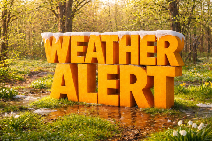
Wichita, KS – A spring-like shift in the weather pattern is expected to impact Kansas during the February 11–17 period, bringing above-normal temperatures with potential statewide implications.
According to the NOAA Climate Prediction Center, the 8–14 day outlook strongly favors warmer-than-normal temperatures across the central Plains, including all of Kansas. This transition follows recent winter cold and signals a temporary break from prolonged mid-winter conditions.
In south-central Kansas, including Wichita and communities along the I-35 corridor, average mid-February high temperatures typically range from the mid-40s to low 50s. Forecast guidance suggests daytime highs may frequently climb into the 50s and possibly low 60s during this period. Overnight lows are also expected to moderate, reducing the frequency of hard freezes.
Across eastern Kansas, including Kansas City, Topeka, and Lawrence, temperatures are forecast to trend several degrees above normal, leading to more consistent afternoon warming. Western Kansas, including Dodge City, Garden City, and Liberal, is also expected to warm above seasonal averages, though cooler mornings may persist in rural areas.
As temperatures rise, any lingering snowpack across northern and western Kansas may begin to melt. Snowmelt combined with rainfall could increase runoff into rivers, streams, and drainage systems. Transportation corridors such as I-70, I-35, I-135, U.S. Highway 50, and U.S. Highway 83 are particularly sensitive to ponding during rapid warmups.
The Climate Prediction Center’s precipitation outlook indicates near to above-normal precipitation potential during this timeframe. While no specific storm systems are identified, rainfall combined with melting snow could contribute to rises on rivers including the Kansas, Arkansas, Republican, Smoky Hill, and Neosho.
Warming temperatures may also weaken ice on ponds and smaller waterways, creating hazards for recreation and agriculture. The National Weather Service advises residents to avoid unstable ice during thaw periods.
Commuters, students, and outdoor workers may notice more spring-like afternoons statewide, but officials caution that late-winter variability remains possible.
Residents across Kansas are encouraged to monitor updated forecasts, river statements, and local advisories as confidence increases closer to the February 11–17 timeframe.


