
Seattle, Washington – Wildfire danger is spiking across western Washington as dry lightning and gusty outflow winds continue to threaten the Cascades and Olympic Mountains through Thursday night.
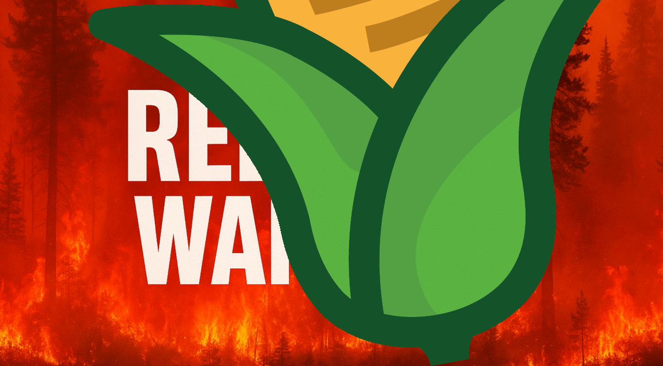
According to the National Weather Service in Seattle, a Red Flag Warning remains in effect until 9 p.m. Thursday for elevations above 1,500 feet in the North and Central Cascades and the eastern slopes of the Olympic Mountains. Storms will redevelop Thursday afternoon and evening, bringing more lightning and winds up to 30 mph.
Isolated rain is possible, but fuels remain critically dry after multiple lightning strikes hit the higher terrain Wednesday. Officials warn that new fires could start quickly and spread unpredictably due to erratic wind shifts—potentially complicating containment on any active wildfires already burning.
Communities near Mount Rainier, Stevens Pass, and Hurricane Ridge should stay alert for sudden fire activity and changing air quality conditions. Outdoor burning is strongly discouraged, and residents are urged to charge devices, review evacuation routes, and report any smoke sightings immediately.
More storm cells are expected through Thursday night. Red Flag Warnings may be extended depending on lightning activity and fire starts.

