
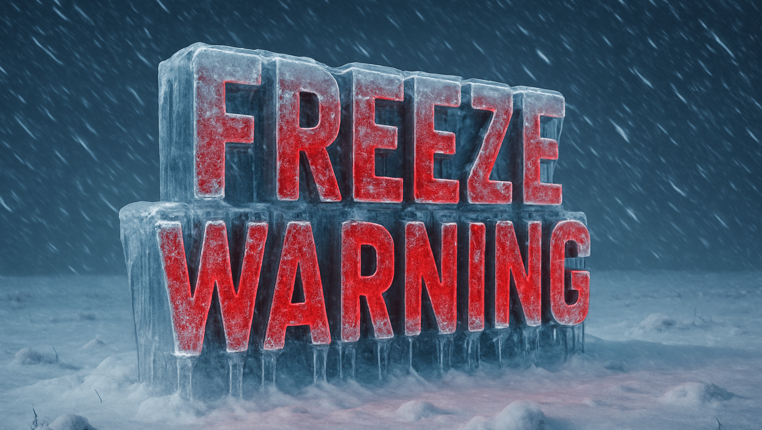
Asheville, NC – A Freeze Warning remains in effect for much of the western North Carolina mountains until 9 a.m. Friday, with overnight temperatures plunging as low as 26 degrees in some high-elevation areas.
According to the National Weather Service in Greenville-Spartanburg, sub-freezing temperatures between 29 and 32 degrees have settled across Avery, Madison, Haywood, Buncombe, Macon, Transylvania, and surrounding mountain counties. The cold is expected to linger through early morning before gradually warming later today.
Officials warn that frost and freeze conditions could kill crops, damage gardens, and affect unprotected outdoor plumbing. Residents are urged to cover tender plants, drain sprinkler systems, and protect exposed pipes before sunrise.
Clear skies and calm winds overnight have allowed temperatures to drop sharply in mountain valleys and ridgetops alike. Forecasters expect sunny but cool conditions later Friday, with highs climbing only into the upper 50s.
This morning’s freeze marks one of the first hard freezes of the season for the Blue Ridge and Smoky Mountain regions — a strong signal that fall is quickly giving way to winter conditions in the higher elevations.

