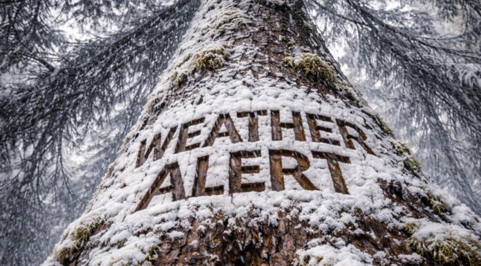
Grand Junction, Colorado – Mountain travel across western Colorado and eastern Utah could become nearly impossible by late tonight as up to 12 inches of snow and 45 mph wind gusts move into higher terrain before the Friday morning commute.
According to the National Weather Service in Grand Junction, a Winter Weather Advisory remains in effect from 11 p.m. tonight through 11 p.m. Friday for the Southwest San Juan Mountains, Uncompahgre Plateau, Dallas Divide, and Utah’s La Sal and Abajo Mountains above 6,500 feet. Snow totals between 6 and 12 inches are expected, with stronger gusts creating blowing and drifting snow.
Impacts will stretch from Ridgway and Dallas Divide to Silverton, Molas Pass and Coal Bank Pass. High-profile stretches near Rico and Hesperus could see sharply reduced visibility overnight into early Friday. In Utah, Spanish Valley, La Sal and Monticello residents traveling into higher elevations should expect slick, snow-packed roads.
CDOT warns that mountain passes could see chain restrictions or temporary closures if snowfall rates intensify before daybreak Friday. Drivers heading out for the Friday morning and evening commutes should allow extra time and check road conditions by calling 511.
Conditions are expected to gradually improve after 11 p.m. Friday, but additional advisories could follow if snow lingers into the weekend.


