
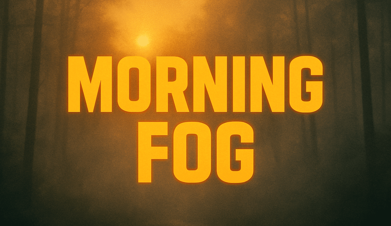
CHARLESTON, W.Va. – Thick fog hangs low across the Kanawha Valley this morning, shrouding bridges and riverbanks in a pale gray veil. Streetlights glow dimly through the mist as traffic crawls along I-64 and Route 119. It’s a calm, chilly start — but one that quickly gives way to blue skies and a taste of late-autumn warmth.
The National Weather Service in Charleston reports dense fog through 9 a.m., with visibility dropping below a mile in spots. Motorists should drive cautiously, keep headlights on low beam, and allow extra distance during the morning commute. Once the fog lifts, sunshine takes over and highs rise near 59°F. A light westerly breeze adds a crisp edge to the air.
By Tuesday and Wednesday, conditions improve dramatically. Highs push into the upper 60s and low 70s, ideal for outdoor work, Veterans Day planning, or leaf cleanup before rain returns late in the week. Clear skies Tuesday night will cool things down into the low 40s, but afternoons stay mild and bright through midweek.
A stronger system begins moving in Thursday night, bringing clouds and a 60 percent chance of rain Friday. Temperatures remain mild — highs around 70°F — but models hint at a cool push by Saturday, signaling an early-November pattern change.
For now, Charleston enjoys one of autumn’s finest stretches: crisp mornings, golden afternoons, and the brief calm before the next wave of rain and colder air edges toward Appalachia.
Five-Day Outlook for Charleston, WV:
Mon: 59/36 – Fog early; sunny and mild.
Tue: 62/42 – Mostly sunny; calm.
Wed: 70/41 – Bright; warmest of the week.
Thu: 62/43 – Sunny; clouds late.
Fri: 71/49 – Rain likely; breezy.

