
Charleston, WV – Winter Weather Advisories remain in effect this morning for parts of the northeast West Virginia mountains, where mixed precipitation is causing slick travel conditions, according to the National Weather Service in Charleston.
Forecasters say areas in northwest Pocahontas, Randolph, and southeast Webster counties may see up to 2 inches of total snowfall, along with a light glaze of ice from freezing drizzle. The advisory is expected to expire later this morning as precipitation tapers off and conditions gradually improve.

Snow and ice early today may create slippery roads, especially on untreated surfaces and higher-elevation routes. Motorists traveling through the affected mountain areas are urged to use caution during the morning hours.
After the wintry start, a quieter weather pattern is expected to settle in for this afternoon and continue through much of the weekend. Temperatures will remain slightly below normal, with dry conditions expected for most locations through Friday night and Sunday.
Looking ahead, forecasters are monitoring a southern weather system that could bring rain or a mix of rain and wintry precipitation to southeastern West Virginia and southwest Virginia on Saturday. At this time, impacts from that system appear limited, but forecast details may change as it approaches.
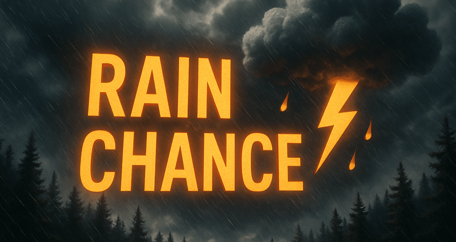
The National Weather Service also notes a warming trend developing during the first full workweek of 2026. While temperatures are expected to turn milder, there is also an increasing chance for rain by midweek, signaling a transition away from recent winter weather.
Residents are encouraged to remain cautious this morning in advisory areas, then enjoy quieter conditions heading into the weekend. Those with travel plans on Saturday, especially in southern and southeastern portions of the region, should continue to monitor forecast updates.

