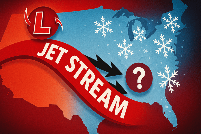
Charleston, West Virginia – A surge of Arctic air is expected to move into West Virginia between Jan. 18 and Jan. 22, bringing a sustained period of colder-than-normal temperatures as a clipper system reinforces a broader pattern shift across the eastern United States.
According to the Climate Prediction Center’s 6–10 day temperature outlook, West Virginia is favored to experience below-normal temperatures during this period as a deep upper-level trough settles over the East. This colder regime follows the breakdown of a recent mild stretch, driven by strong ridging across the western U.S. and Alaska that allows Arctic air to push southward into the central and eastern states.
Daytime high temperatures are expected to run several degrees below mid-January averages, while overnight lows fall sharply across the state. The coldest conditions are most likely in the mountains and higher elevations, where increasing winds behind the clipper system could drive wind chills into the single digits or below zero, particularly overnight and during early morning hours.
During the core cold window through Jan. 22, precipitation chances are expected to remain near normal for this time of year, with no strong signal for widespread snowfall. The incoming Arctic air mass is expected to be relatively dry, limiting snow potential unless additional moisture becomes available.
Looking beyond this period, forecast guidance indicates a 20% to 40% risk of heavy snow sometime during the Jan. 20–26 timeframe across portions of the Appalachian region, including much of West Virginia. While confidence in exact timing and placement remains low, the colder pattern could support more impactful snowfall if storm systems track favorably through the region.
For West Virginia commuters, students, and outdoor workers, the primary concern through Jan. 22 will be prolonged cold exposure, with increased attention needed for potential snow impacts later in the week, especially in mountainous areas.


