
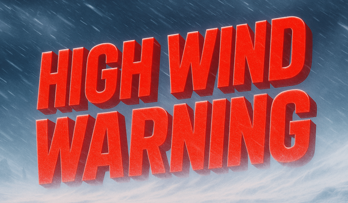
Charleston, West Virginia – Damaging winds and hazardous travel conditions are expected to continue across portions of eastern West Virginia through Tuesday afternoon, prompting an ongoing High Wind Warning.
According to the National Weather Service in Charleston, a High Wind Warning remains in effect until 1 p.m. EST Tuesday for northwest Pocahontas County and southeast Randolph County, including Snowshoe and Harman.
Forecasters expect west winds of 25 to 35 miles per hour, with gusts reaching up to 60 miles per hour, particularly along higher ridges and exposed terrain. These winds are strong enough to down trees and power lines, increasing the likelihood of widespread power outages across the region.
Travel conditions may become hazardous, especially for high-profile vehicles such as tractor-trailers, buses, and delivery trucks. Strong crosswinds on mountain roads and open stretches could make vehicle control difficult.
In addition to wind impacts, blowing snow may abruptly reduce visibility at times from Monday afternoon into Tuesday, creating sudden whiteout-like conditions in higher elevations. The National Weather Service also warns of dangerously cold wind chills, with values dropping to 10 to 15 degrees below zero early Tuesday morning, posing an increased risk of frostbite for anyone outdoors without proper protection.
Residents are urged to secure loose outdoor objects, prepare for potential power outages, and avoid unnecessary travel during peak wind periods. Those traveling should reduce speed and remain alert for falling trees, downed power lines, and sudden visibility changes.
Officials recommend staying informed through NOAA Weather Radio, local media, or updates from the National Weather Service at weather.gov/rlx and on social media as conditions evolve through Tuesday.

