
Lubbock, Texas – Damaging winds and blowing dust could make travel dangerous across a large stretch of West Texas on Sunday, with the strongest gusts expected from the southern Texas Panhandle through Lubbock and into the Rolling Plains. Drivers in trucks, SUVs and other high-profile vehicles could face the worst conditions as winds ramp up through the morning and peak into the afternoon.
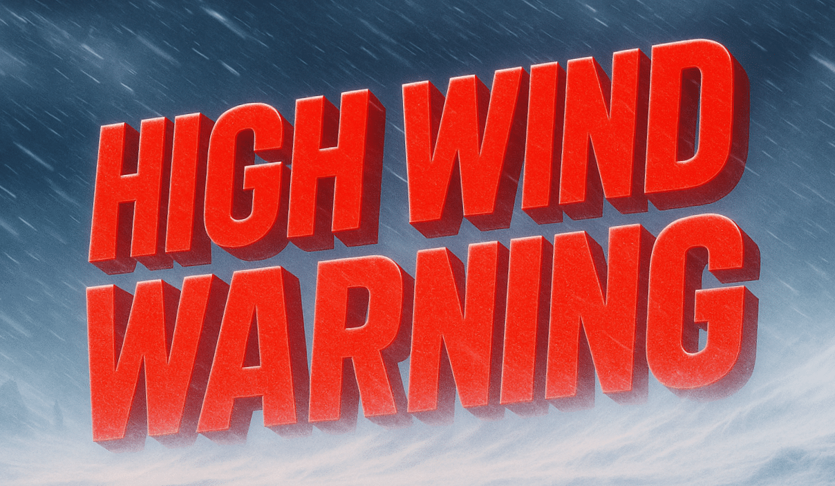
According to the National Weather Service in Lubbock, a High Wind Warning is in effect from 7 a.m. to 7 p.m. Sunday for Parmer, Castro, Swisher, Briscoe, Hall, Childress, Bailey, Lamb, Hale, Floyd, Motley, Cottle, Cochran, Hockley, Lubbock, Crosby, Dickens, King, Yoakum, Terry, Lynn, Garza, Kent and Stonewall counties. Forecasters said northwest winds will turn north at 35 to 45 mph, with gusts reaching 65 mph.

The warning covers communities including Lubbock, Plainview, Levelland, Brownfield, Littlefield, Tulia, Childress, Denver City, Tahoka, Post and Jayton. Loose outdoor items could be tossed or damaged, and scattered power outages are possible where gusts hit hardest. Blowing dust may sharply reduce visibility on open stretches of highway, especially in rural areas and near freshly plowed fields.
Residents should secure trash bins, patio furniture and lightweight equipment before Sunday morning. Anyone traveling should keep both hands on the wheel, slow down in dust, and avoid unnecessary trips during the strongest winds. More alerts could follow if dust or power impacts worsen Sunday.

