
Washington starts the first official week of winter under gray skies, with rain streaking windshields and damp air clinging to the Spokane metro. Side streets glisten early, and low clouds press close to the city as the day begins.
This Monday morning opens near 40 degrees with rain likely across Spokane and surrounding communities. Wet pavement and patchy fog reduce visibility, especially along U.S. 2, U.S. 395, and I-90 through the morning commute. Drivers should slow down and allow extra stopping distance on slick roads.
Rain tapers later today, but conditions remain unsettled. Highs reach the low 40s, then fall toward the low 30s tonight. While widespread snow is not expected today, colder air continues filtering south, setting up subtle winter hazards.
Tuesday brings a brief lull. Skies stay mostly cloudy, with spotty rain possible late in the day. Temperatures climb into the low 40s again, but moisture lingers near the surface. Fog may redevelop, especially in valleys and near waterways.
By Tuesday night and Wednesday, the pattern shifts. Rain becomes more widespread, and snow levels lower toward the Spokane area. Daytime highs Wednesday reach the mid-40s, but colder nighttime air pushes temperatures near freezing. Wet roads may turn slick late, especially on bridges and overpasses.
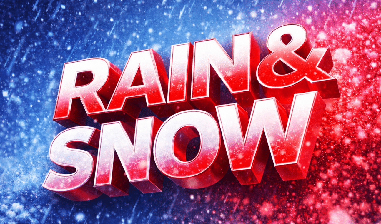
Christmas Eve deserves close monitoring. Rain remains likely, with patchy fog early. Snow levels hover close enough to allow a rain-and-snow mix late Wednesday night into Thursday. While accumulations appear limited, even brief snow or freezing drizzle could impact holiday travel.
Residents should keep winter kits ready, watch for changing road conditions, and stay weather-aware through midweek.
Five-Day Outlook for Spokane, Washington
- Monday: Rain likely; high near 42°F
- Tuesday: Mostly cloudy, spotty rain; high near 43°F
- Wednesday: Rain, turning colder late; high near 45°F
- Christmas Day: Rain likely, fog possible; high near 42°F
- Thursday: Rain then rain/snow mix; low near 33°F

