
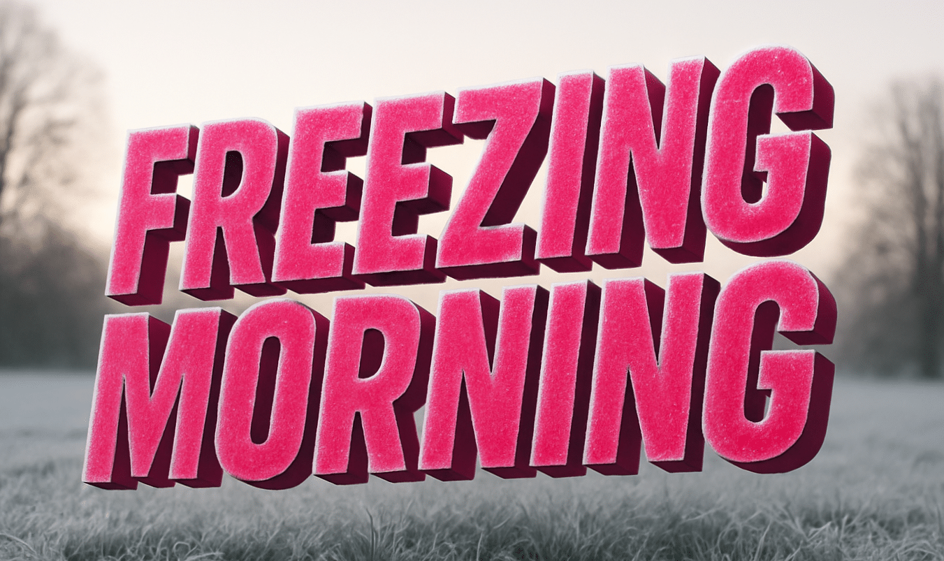
Washington – Headlights glow like halos in thick mist across the Spokane area, where dense fog clings to streets, fields, and river valleys. Visibility drops fast before sunrise, and damp pavement feels slick as temperatures hover near freezing. Conditions look quiet at first glance, but hazards build quickly.
According to the National Weather Service, a Dense Fog Advisory remains in effect for Spokane and surrounding communities until late morning Friday. Visibility may fall to one quarter mile or less in spots, especially in Spokane Valley, Airway Heights, and near downtown. Calm winds allow fog to linger longer, while temperatures near or below freezing increase the risk of slick travel.
Drivers should expect slowdowns on I-90, U.S. 2, and Highway 195 during early commutes. Moisture from fog can freeze on bridges and shaded roads, creating sudden black ice. Plan extra time, use headlights, and leave more distance between vehicles. To be fair, conditions improve by afternoon, but mornings stay tricky.
Cold, quiet weather settles in for the weekend. Saturday and Sunday bring sunshine, but highs only reach around 40 to 41 degrees. Nighttime lows drop into the low to mid-20s, allowing frost to form again by early morning. Sidewalks, driveways, and untreated roads may feel slick at daybreak.
An Air Stagnation Advisory also takes effect late Friday through early next week. Pollutants may build near the surface, which can affect people with heart or lung conditions. Limiting outdoor exertion helps during stagnant periods.
Looking ahead, the pattern stays dry with gradual warming next week, though cold nights persist.
Five-Day Outlook for Spokane, WA
Friday: Cloudy early with dense fog, high near 40.
Saturday: Mostly sunny, high near 40, cold morning.
Sunday: Sunny, high near 41, icy spots early.
Monday: Mostly sunny, high near 40.
Tuesday: Partly sunny, high near 39.

