
Seattle, WA – Wipers are working overtime again across western Washington as another round of steady rain moves through the region. Low clouds hang thick over Puget Sound this morning, with gusty south winds and continuous rainfall already creating slick commutes and ponding on city streets.
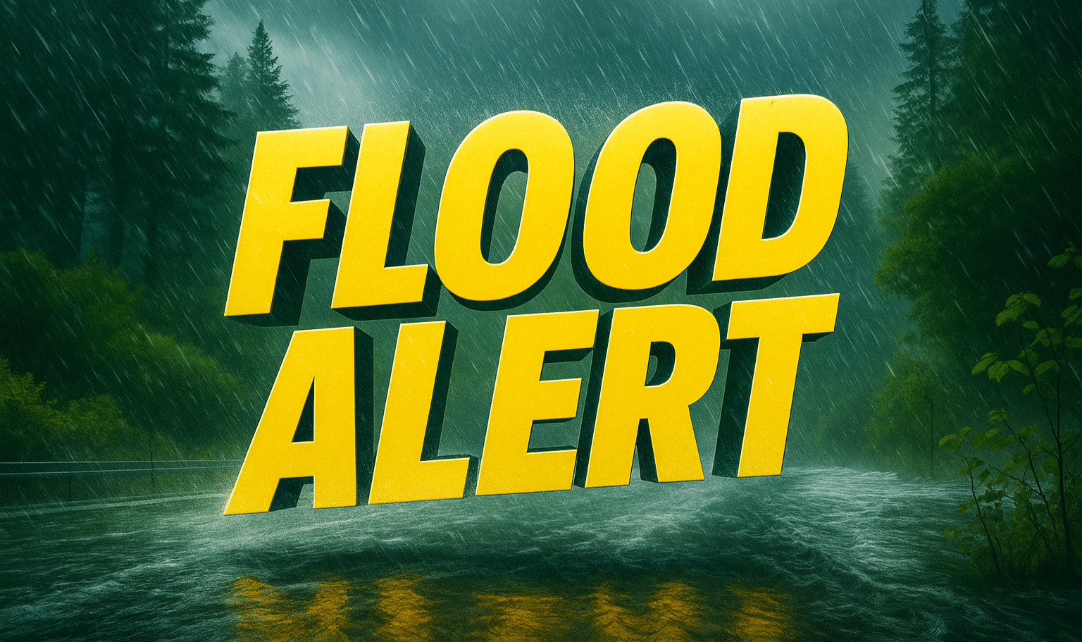
According to the National Weather Service in Seattle, a Flood Watch remains in effect through Friday afternoon as multiple systems push across the area. Rainfall totals between one and two inches are expected by late Thursday, with higher amounts possible along the Olympic foothills and Cascade slopes. Winds could gust between 25 and 30 mph, especially near the coast and through open lowland corridors.

The combination of saturated ground and fresh rainfall could trigger localized flooding in urban zones and smaller streams. Drivers are urged to avoid water-covered roadways and use extra caution during the evening rush when visibility drops under heavier bands of rain.
Meteorologists note the pattern will gradually ease by Saturday, though scattered showers may linger into early Sunday. Temperatures remain mild, hovering between the upper 50s by day and upper 40s at night, keeping conditions wet but above freezing.
This stretch marks the heart of the Pacific Northwest’s early-winter storm cycle, and forecasters warn that another wet system could arrive next week. For now, umbrellas stay up, gutters stay busy, and patience is key for Seattle drivers navigating soaked roads.
Five-Day Outlook (Seattle, WA):
- Thursday: Rain likely, high 63°F. Wind SW 18 mph.
- Friday: Showers continue, high 54°F. Low 47°F.
- Saturday: Light rain, high 55°F. Drier by evening.
- Sunday: Cloudy with scattered rain, high 56°F.
- Monday: Rain chances increase again, high 55°F.

