
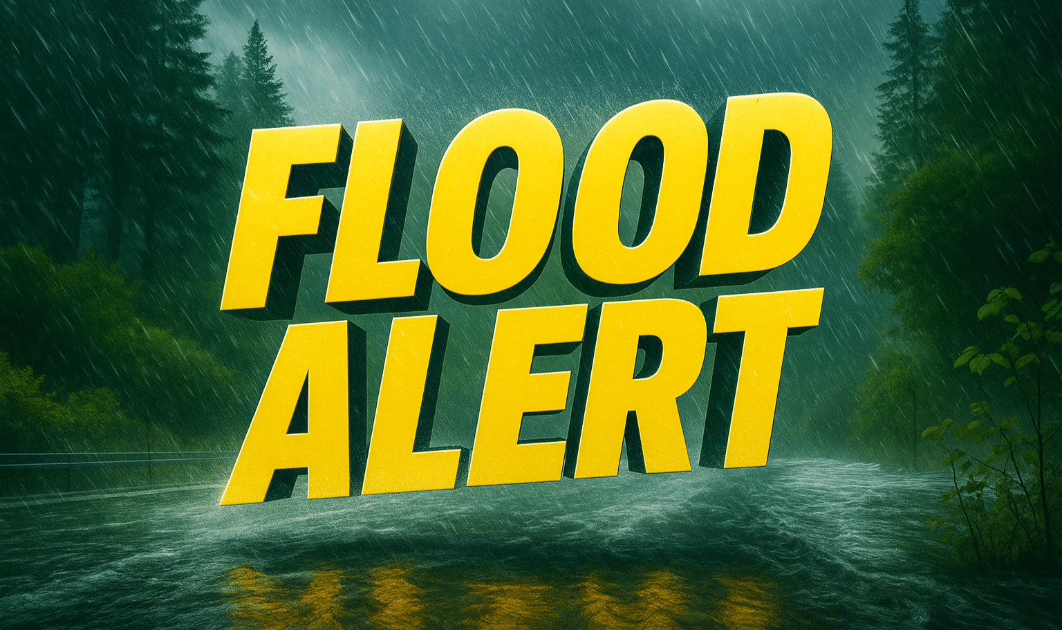
Seattle, WA – Western Washington is bracing for several days of heavy rain and potential flooding as a strong atmospheric river moves into the region. The National Weather Service in Seattle warns that significant river, small stream, and urban flooding is likely through Thursday, with rainfall totals reaching 10–15 inches in the Cascades and 3–8 inches across lowland areas.
The heaviest rain is expected Monday through Wednesday, with saturated soils increasing the risk of landslides and debris flows in steep terrain and burn scar areas. Communities along the Cascades, Olympics, and the Salish Sea coast are most at risk for flooding, while poor-drainage urban areas could also see high water and road closures.

Forecasters urge residents to prepare now and avoid flooded roadways. “Turn around, don’t drown,” the NWS emphasized, warning that just 12 inches of moving water can sweep away a vehicle.
Floodwaters may persist into late week as rivers remain elevated due to ongoing runoff. Residents should stay updated through water.noaa.gov and local alerts for any new flood warnings or evacuation notices.

