
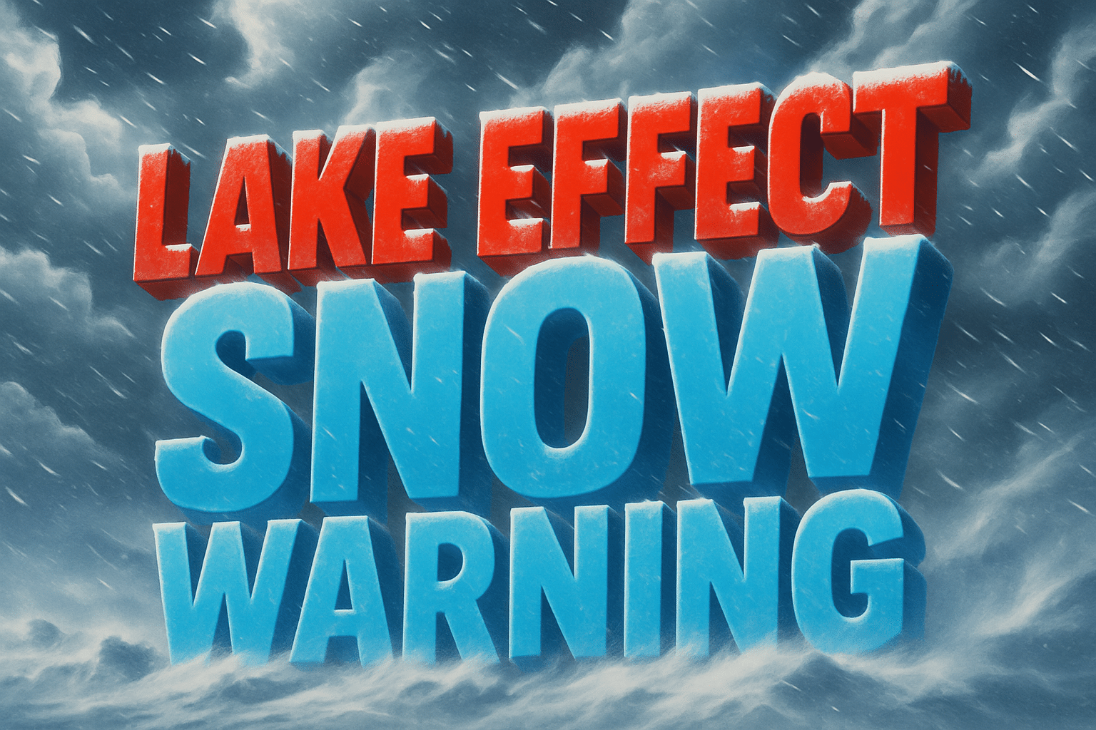
A persistent and intense lake-effect snow band continues to impact Warren, McKean, and Elk Counties, with the National Weather Service in State College maintaining a Lake Effect Snow Warning through 1 PM EST Monday. Snowfall totals of 4 to 8 inches are expected across the region, with the highest amounts falling where the heaviest bands linger.
Communities including Warren, Bradford, St. Marys, and Ridgway are experiencing the brunt of the storm as cold northwest winds pull moisture from Lake Erie, fueling narrow but powerful snow bands. These bands can produce dramatic fluctuations in conditions from one mile to the next—clear skies in one town and whiteout visibility in another.
Travel impacts are already being reported across the region. Roads, especially bridges and overpasses, are becoming slick quickly as bursts of heavy snow accumulate rapidly. Visibility may drop to one-quarter mile or less, making even short trips potentially hazardous. Commuters heading out early Monday morning should anticipate delays and consider postponing travel if possible.
Forecasters highlight that lake-effect snow is notoriously unpredictable, and small shifts in wind direction can cause the snow band to intensify or shift locations with little warning. Motorists are urged to monitor real-time conditions, drive slowly, and allow extra distance between vehicles. Sudden, localized whiteouts remain a major concern through midday Monday.
The National Weather Service advises residents to prepare for rapid changes in weather and road conditions. Any travel should include emergency supplies such as water, snacks, and a flashlight in case motorists become stranded.
Snowfall rates will begin decreasing later Monday as winds shift and the lake-effect band weakens. Until then, residents across northwestern Pennsylvania should remain alert and exercise caution during this early-season winter event.

