
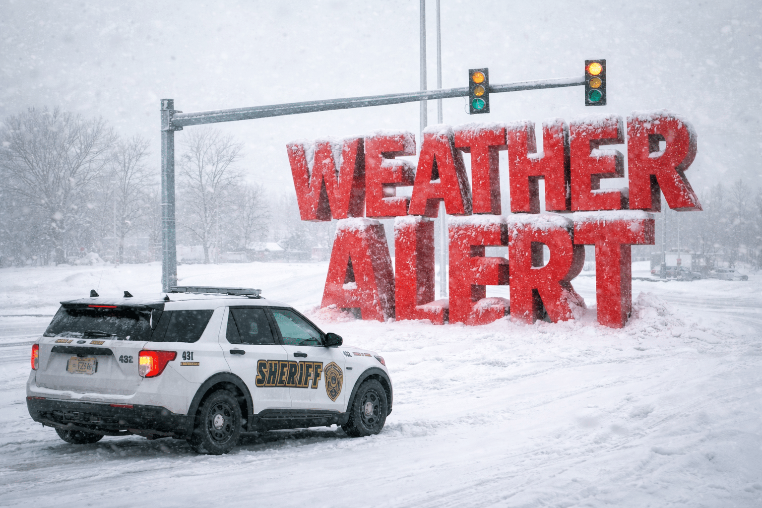
Virginia — Damp air clings to the coast this morning as cold rain taps windows and slick pavement reflects gray skies. Jackets feel heavier. Breath hangs longer. Winter is quietly tightening its grip across southeast Virginia.
Rain moves through early today, mainly before sunrise, with temperatures hovering in the mid-30s near Virginia Beach. Winds turn brisk from the northwest, drying roads but pulling colder air in fast. By tonight, skies clear and temperatures drop sharply into the low 20s. That sets the stage for widespread frost and icy patches by daybreak Tuesday.

Tuesday turns sunny but stays cold. Afternoon highs reach the mid-30s, though the air feels sharper with a lingering breeze. After sunset, temperatures fall again into the mid-20s. Any leftover moisture freezes quickly. Drivers should watch bridges and low-lying roads.
Wednesday stays mostly sunny and cold, topping out near 32 degrees. Clouds increase Wednesday night as the next system approaches. A chance of snow develops late, with light accumulations possible into early Thursday. Even minor snowfall could impact the morning commute along I-264, I-64, and coastal routes.
Thursday keeps winter front and center. Snow chances linger early, then skies partially clear with highs near 30. Cold air remains locked in through Friday, with lows dipping into the upper teens inland. Flash freezing becomes a concern each evening as melted snow or daytime moisture refreezes.
Looking ahead, the 6–10 day outlook favors below-normal temperatures across Virginia, while precipitation chances trend lower into early February. Winter stays in control.
Bundle up, plan extra travel time midweek, and protect pets and pipes. Are you seeing frost or slick spots where you live this morning?
Five-Day Outlook – Virginia Beach, VA
• Today: Rain early, then clearing, high near 40°F
• Tuesday: Sunny, cold, high near 35°F
• Wednesday: Mostly sunny, high near 32°F
• Thursday: Chance of snow early, high near 30°F
• Friday: Partly sunny, cold, high near 29°F

