
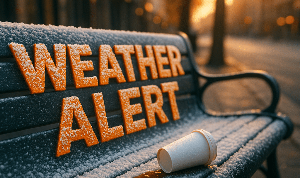
The morning air across Northern Virginia feels sharp and still — lawns glisten with frost, and the last few leaves crunch underfoot. Temperatures dipped into the upper 20s across Fairfax, Prince William, and Stafford counties, marking one of the coldest mornings of the season so far. The Freeze Warning remains in effect through 8 a.m., officially ending the region’s growing season.
According to the National Weather Service in Baltimore/Washington, sub-freezing temperatures will lift quickly after sunrise as sunshine and a light south wind return. Today brings a notable rebound, with highs climbing into the mid-60s and a touch of late-day warmth filtering in. Residents should still take care to check outdoor plumbing, garden beds, and tender plants before conditions thaw out fully.
Saturday turns even milder — sunny and near 70°F — perfect for fall cleanup, football, or early holiday decorating. But a change arrives Sunday, when increasing clouds and gusty southerly winds push moisture back into the area. Scattered showers could affect afternoon travel along I-95 and Route 50, especially west of the Beltway.
The bigger story is what follows: a secondary cold front sweeping through late Sunday night, dropping temperatures sharply by Monday morning. Highs early next week hover in the 40s, with breezy, dry air and another frost risk possible by Veterans Day.
While this weekend won’t bring snow, forecasters note early signs of a winter-like pattern taking shape by mid-November — the kind that could usher in the season’s first measurable flakes farther north.
For now, Northern Virginia enjoys one more mild, golden weekend before November reminds everyone that winter is closer than it looks.

