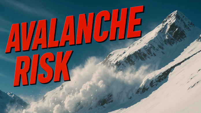
Vail, CO – The Colorado Avalanche Information Center (CAIC) has issued a CONSIDERABLE avalanche danger (Level 3 of 5) across much of the Northern Mountains, including the Vail Pass, Steamboat, and Summit County zones, as heavy snow and strong winds continue through Wednesday.
Tuesday night’s snowfall and ongoing gusts—some exceeding 35 to 40 mph along ridgelines—are keeping avalanche conditions unstable, particularly on northwest, north, northeast, and east-facing slopes near or above treeline. In the West Elk Mountains, the snowpack remains sensitive, maintaining a Level 3 danger rating for at least another day as it adjusts from the previous weekend’s storm.
“Freshly drifted snow is our biggest concern right now,” CAIC forecasters noted. “If you encounter new wind loading, the problem is likely growing in that area. We’re still seeing remotely triggered avalanches, so travelers need to evaluate both the slope they’re on and the connected terrain.”
Backcountry users should avoid steep slopes and terrain traps, especially where snow appears wind-loaded or hollow. While the overall avalanche danger is slowly trending downward elsewhere in the state, persistent slab problems remain. These slabs may be thinner but are still reactive in the wrong conditions.
Those heading into the mountains should carry full avalanche gear—beacon, probe, and shovel—and check the latest forecast before departure.
Forecasts and real-time updates are available at Colorado.gov/avalanche and @COAvalancheInfo on social media.


