
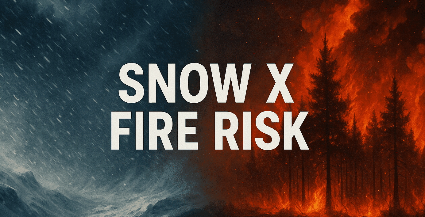
Grand Junction, CO – A developing spring storm is set to impact the Utah-Colorado border region beginning late Thursday, bringing a mix of gusty winds, mountain snowfall, and elevated fire risks through Sunday.
According to the National Weather Service in Grand Junction, the system will begin affecting northwest Colorado and southeast Utah Thursday afternoon. Residents should expect sustained southwest winds and possible thunderstorms, with wind gusts reaching 30 mph in valleys and stronger in higher terrain. Areas south of I-70 face the greatest concern, with critical fire weather conditions possible due to low humidity and strong wind patterns.
Mountain areas, including the San Juan and Elk ranges, are forecast to receive moderate to heavy snow into Friday night. A rain and snow mix is likely at lower elevations, including Grand Junction, where overnight lows may dip near freezing Friday and Saturday.
Drivers along the I-70 and US-191 corridors should anticipate reduced visibility and slick conditions through early Sunday. Residents are urged to secure outdoor items and avoid open burning.
This storm is expected to clear by late Sunday, followed by calmer, sunny conditions into early next week. No spotter activation is anticipated at this time.

