
Binghamton, NY – Thunderstorms could rattle parts of Central and Southern Tier New York late Tuesday, bringing bursts of heavy rain, gusty winds, and the possibility of hail through the overnight hours.
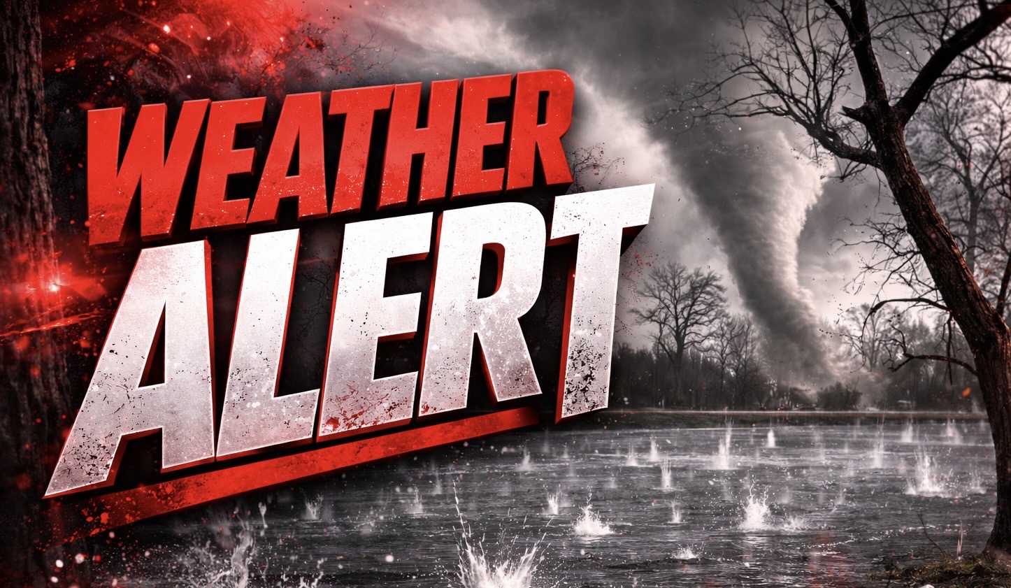
According to the National Weather Service in Binghamton, a Slight Risk (Level 2 of 5) for severe storms covers much of Central New York and the Finger Lakes, including Ithaca, Elmira, Bath, and areas west of Binghamton. Storms may produce locally damaging wind gusts, hail, and isolated tornadoes, with the strongest activity expected late Tuesday afternoon through Tuesday night.

Moist air pushed into the region earlier Tuesday, raising dew points into the upper 50s and increasing storm potential. Brief clearing during the afternoon allowed the atmosphere to destabilize further, setting the stage for scattered storms capable of intensifying quickly.
Heavy downpours may also create localized flash flooding, especially in communities that already saw rainfall earlier in the day. Low-lying roads and poor drainage areas across the Southern Tier and Finger Lakes could see water collect quickly. Drivers along Interstate 81, Route 17, and Interstate 86 should watch for sudden visibility drops and ponding on roads during stronger cells.
Residents should secure loose outdoor items, charge mobile devices, and stay alert for warnings Tuesday evening. Additional advisories may be issued as storms develop and track east overnight into early Wednesday.

