
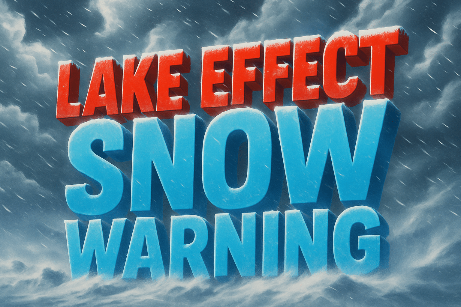
Marquette, MI – A Winter Weather Advisory is in effect for Luce County and portions of Chippewa and Mackinac counties as strong lake-effect snowbands develop tonight through Sunday night, according to the National Weather Service (NWS) in Marquette. Forecasters expect 2 to 7 inches of snow across the eastern Upper Peninsula, with the heaviest totals dependent on subtle shifts in wind direction.
According to NWS, snowfall rates may fluctuate quickly due to sharp gradients within the snowbands. Even a small change in wind alignment over Lake Superior could shift the axis of heaviest snow several miles in either direction, affecting communities from Newberry to Sault Ste. Marie.
Tonight’s conditions will feature increasing clouds and northwest gusts of 20–35 mph, helping drive lake-effect development. Overnight lows will fall into the mid-20s to low 30s. By Sunday, moderate lake-effect snow showers are expected to persist across the east, accompanied by breezy northwest winds that will significantly reduce visibility, especially near the Lake Superior shoreline.
Travelers should be prepared for rapidly changing conditions, including whiteout visibility and snow-covered roads. NWS stresses extra caution on Sunday for anyone traveling through Luce, Chippewa, and Mackinac counties.
Light snow showers will continue into Monday, though accumulations will be much lighter as winds ease and snowbands weaken. High temperatures Sunday and Monday will range from the mid-30s to lower 40s, with lows dropping into the 20s each night.
Forecasters will continue to monitor wind direction closely, as it remains the primary driver of where the heaviest snow ultimately falls.

