
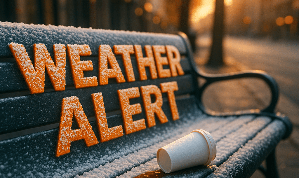
Tennessee greets the morning under low clouds as damp streets shine beneath passing headlights. The air feels cool but manageable. That balance tips soon as rain arrives and colder air follows close behind.
According to the National Weather Service in Memphis, scattered showers continue today and become widespread Thursday. Rain may fall steadily at times, briefly lowering visibility during the commute. Drivers should slow down and allow extra space, especially on bridges and ramps where water collects fastest.
Temperatures rise into the low 60s Thursday, keeping conditions mild for December. To be fair, that warmth sets up a sharper change later. As skies clear Thursday night, colder air pours in behind the system. Temperatures fall toward freezing by early Friday, raising concern for slick spots where rain lingers.
By Friday morning, pavement may refreeze in shaded areas. While snow is not expected, black ice remains a real risk. Plan extra time if traveling early and use caution on I-40, I-240, and neighborhood streets.
Friday turns sunny but cooler, with highs in the mid-40s. A brisk feel settles in through the afternoon. Friday night stays chilly, keeping winter jackets in play as holiday plans ramp up.
Saturday brings a rebound. Sunshine returns and highs climb near 61 degrees. That warmth helps dry roads, though cooler nights continue. By Sunday, clouds increase with a slight chance of showers and highs near 59.
Looking ahead, meteorologists are tracking broader winter weather across the central U.S. While Memphis avoids snow for now, the pattern signals a true winter transition heading into Christmas week.
Five-Day Outlook (Memphis, TN):
• Thursday: Showers, high near 62
• Friday: Sunny, cooler, high near 46
• Saturday: Mostly sunny, high near 61
• Sunday: Slight rain chance, high near 59
• Monday: Mostly cloudy, high near 58

