
Springfield, IL – A strong autumn storm system is on the way for Central Illinois, bringing the potential for thunderstorms and a sharp drop in temperatures by the end of the weekend.
According to the US National Weather Service in Central Illinois, temperatures will continue to rise through Friday before a cold front sweeps across the region from west to east on Saturday. Ahead of that front, numerous showers and thunderstorms are expected, with a 70% chance of rain. Some of these storms could approach severe limits, especially east of the Illinois River Saturday afternoon.
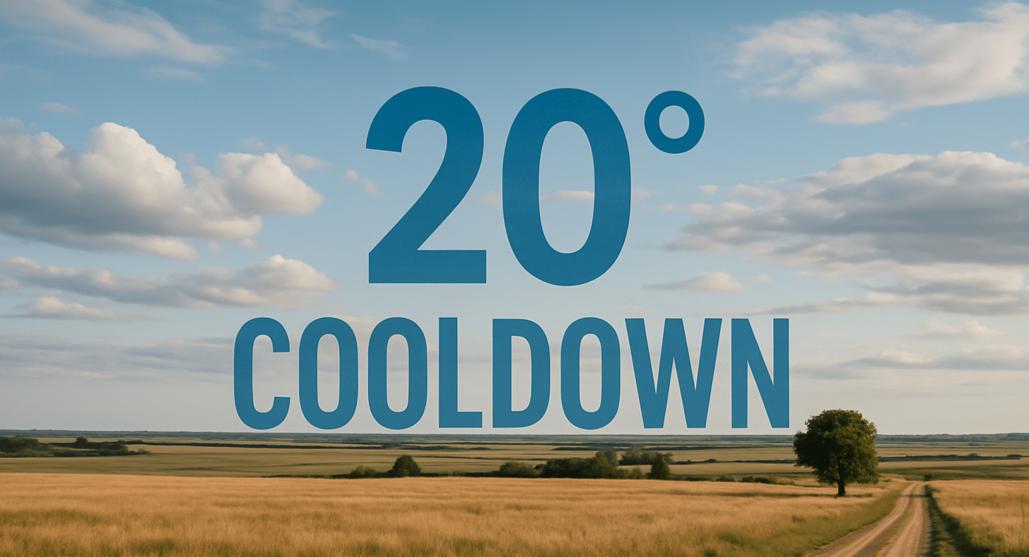
Highs will reach the upper 70s to near 80°F Thursday and Friday, but by Sunday, breezy northwest winds will pull in cooler air, dropping highs into the low 60s.
Forecasters say the front will also bring beneficial rainfall to drought-stricken parts of the state, but residents should prepare for strong winds and possible lightning during Saturday’s storms.

