
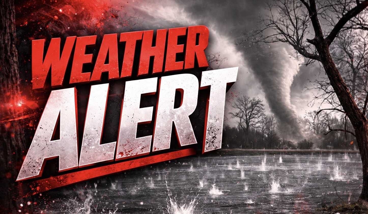
Springfield, Illinois – Severe storms are intensifying rapidly across central Illinois this evening, with nearly 8 million people under a Severe Thunderstorm Watch that now includes the risk of EF2-strength tornadoes through 11 p.m.
According to the National Weather Service in Lincoln, storms developing this evening could produce wind gusts between 70 and 75 mph and hail up to 2 inches in diameter. A 2 to 5 percent tornado probability is in place, with the potential for isolated tornadoes reaching EF2 intensity.

The highest risk spans cities including Springfield, Peoria, Decatur, Champaign, and Bloomington, especially along I-55, I-72, and I-74 where storms are expected to organize and move south and east through the evening.
Drivers may encounter sudden downpours and rapidly reduced visibility, particularly during peak travel hours. Power outages and tree damage are possible where stronger wind gusts occur.
Residents are urged to stay alert and monitor warnings closely. Identify a safe shelter location now and be ready to act quickly if a warning is issued.
The severe threat will continue through 11 p.m., with storms pushing into Indiana overnight and additional warnings likely.

