
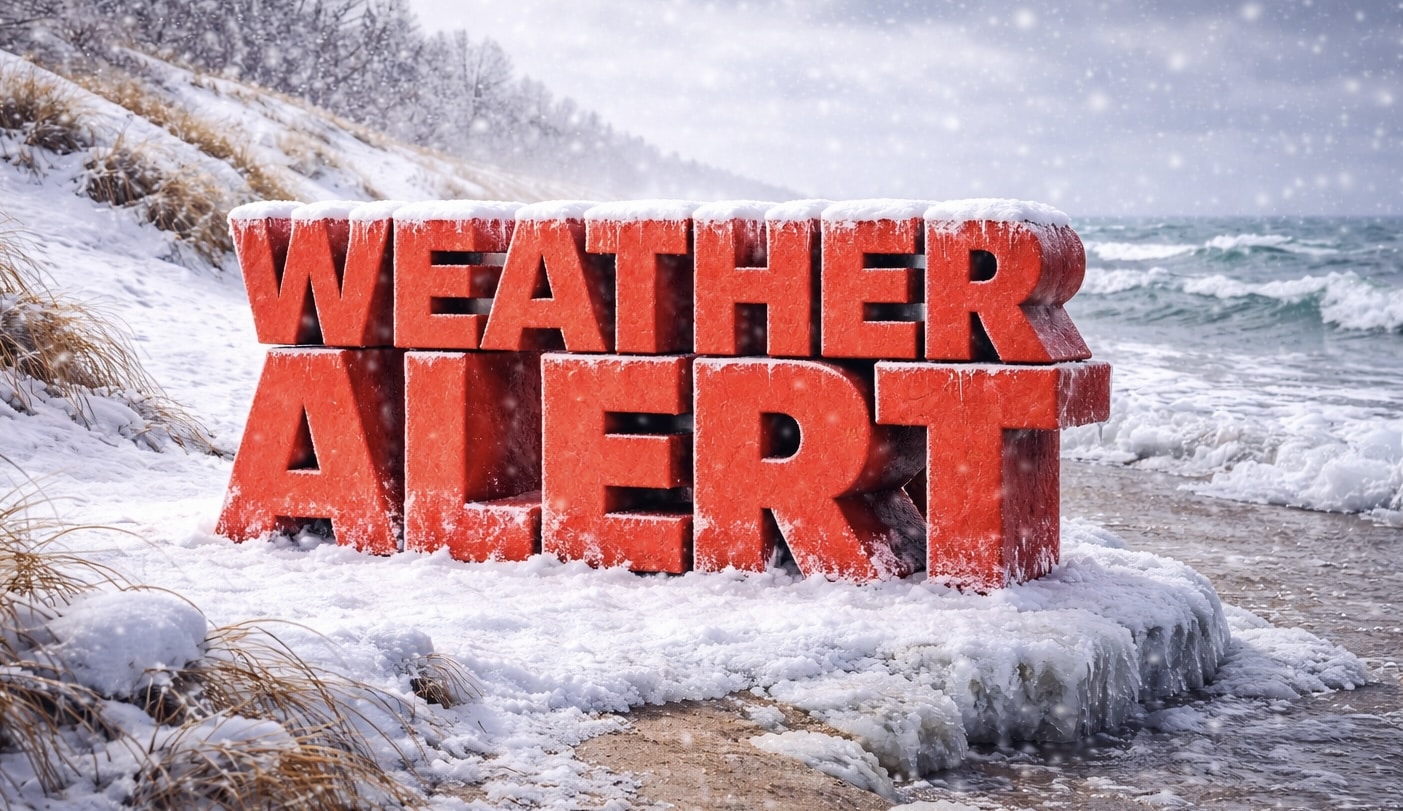
Springfield, Illinois – Light snow of less than 1 inch is expected Sunday night into early Monday, potentially creating slick travel along Interstate 55, Interstate 72 and nearby roadways before a wetter midweek pattern develops.
According to the National Weather Service in Lincoln, dry weather will continue through Sunday before a fast-moving system arrives late Sunday night. Snow probabilities increase to around 40% overnight, with accumulations expected to remain under 1 inch across most of central Illinois.

Forecasters say areas south of a Pittsfield-to-Mattoon line, including communities near U.S. 36 and Illinois Route 121, could see a brief wintry mix before precipitation changes to rain Monday morning. Overnight lows are expected to fall between 24 and 31 degrees, allowing for minor slushy buildup on untreated bridges and overpasses.
By Monday afternoon, temperatures are forecast to rise into the low-to-mid 40s, changing precipitation to all rain. While widespread travel disruptions are not anticipated, early morning commuters along I-55, I-72 and I-74 should allow extra time.
A more active weather pattern is expected beginning Tuesday. Rain and thunderstorms are likely Tuesday afternoon and evening, with precipitation chances reaching 90% and highs climbing into the upper 50s and lower 60s. Additional storm chances continue Wednesday and Thursday, with rain probabilities between 60% and 80% and highs approaching the upper 60s.
The midweek rainfall may benefit soil moisture but could create ponding on highways during heavier downpours. Students and early-shift workers traveling before sunrise Monday may encounter patchy slick spots.
Residents are encouraged to monitor updated forecasts for any changes in timing or precipitation type.
This article was produced by a journalist and may include AI-assisted input.
All content is reviewed for accuracy and fairness.
Follow us on Instagram & Facebook and support local independent news.
Have a tip? Message us.

