
Springfield, Illinois – Mild temperatures will continue across central Illinois through the weekend, before a strong cold front brings showers, isolated storms, and sharply colder air beginning late Sunday and lasting into next week.
According to the National Weather Service Central Illinois, highs today are expected to range from 54 to 66 degrees, with patchy fog possible at times. Mild conditions continue Saturday, with highs between 51 and 61 degrees, remaining well above average for late December.
By Sunday, temperatures are forecast to peak between 55 and 68 degrees ahead of an approaching cold front. Forecasters indicate a 90 percent chance of showers, along with isolated thunderstorms, as the front moves through central Illinois. Breezy conditions are also expected during the day.
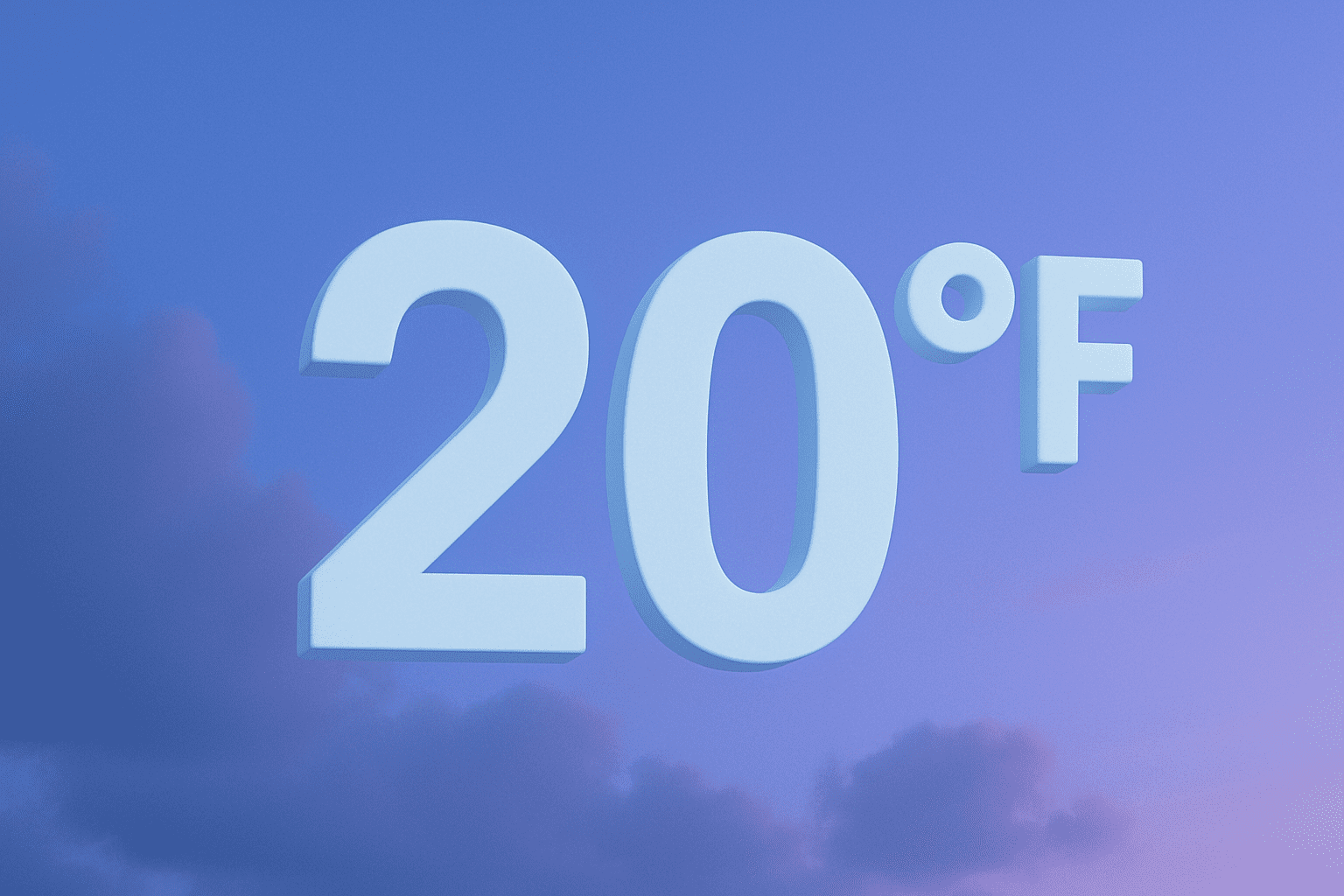
Behind the front, temperatures will drop quickly Sunday night. Monday highs are forecast to reach only 24 to 26 degrees, marking a dramatic shift from the mild weekend weather. Overnight lows Sunday night may fall to between 14 and 22 degrees, with continued cold conditions into early next week.
The Weather Service notes that much colder air will dominate the region at the start of the workweek, with Monday night lows in the mid teens. By Tuesday, temperatures are expected to moderate slightly but remain near seasonal levels, with highs around 31 to 33 degrees.
While widespread winter precipitation is not expected at this time, forecasters note a chance of rain or snow Sunday night as colder air moves in. Any precipitation during this transition period could briefly affect travel.
Residents are encouraged to prepare for the rapid change in temperatures, dress in layers, and monitor forecast updates as timing and impacts of the cold front become clearer.

