
Springfield, Illinois – Minor snow accumulations could impact travel across central Illinois Sunday night into Monday morning.
According to the US National Weather Service Central Illinois, snow is expected to spread into portions of central and southeast Illinois Sunday evening and continue through early Monday. Snow remains the most likely precipitation type through about 6 a.m. Monday.

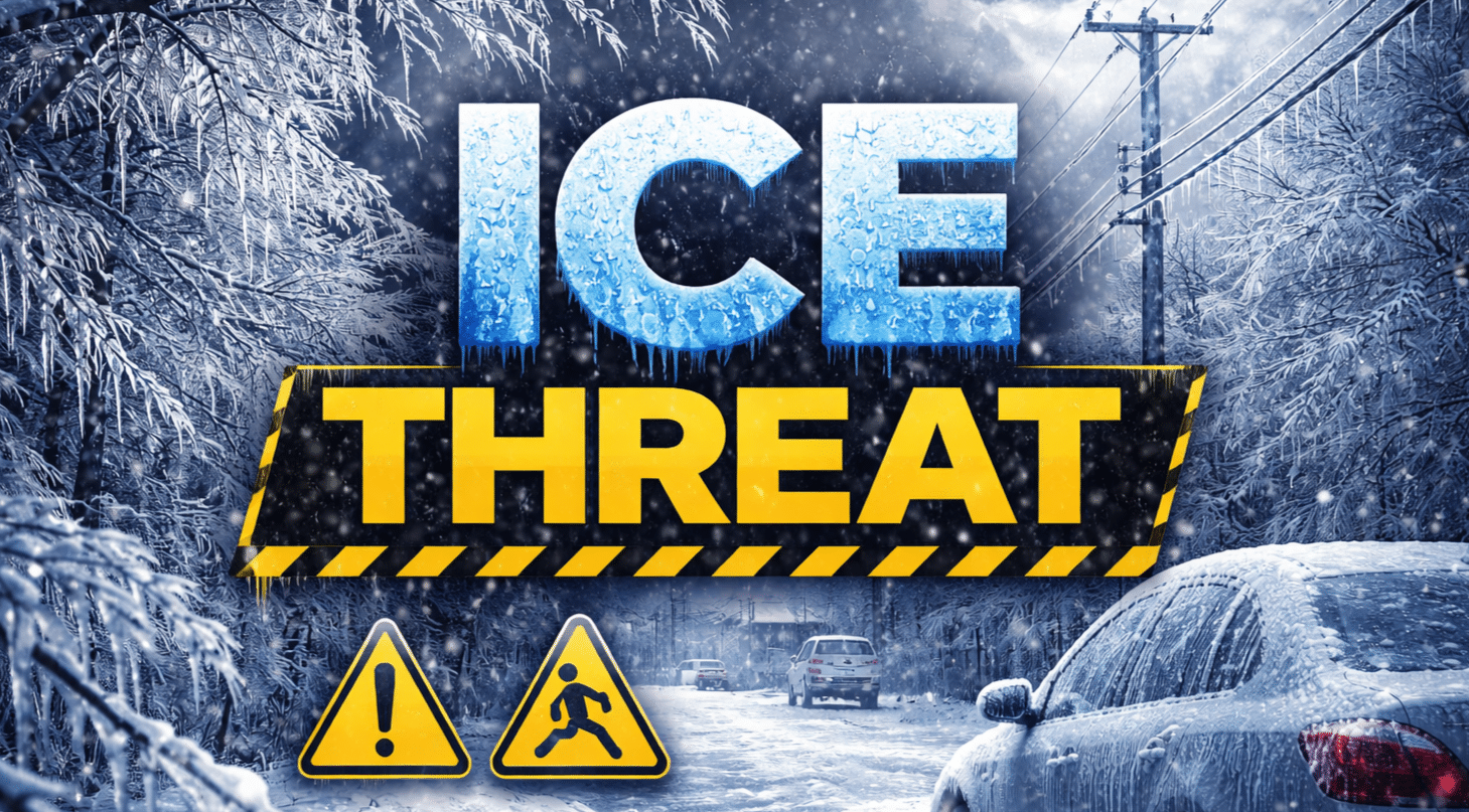
Forecasters indicate that between the 25th and 75th percentile, snow totals generally range from 0 to 1 inch between Interstate 74 and Interstate 70. Probabilities of at least one inch of snow range from roughly 20% to 40% across much of the region, with higher chances near Springfield, Decatur, and Litchfield.
There is also a 20% to 30% chance that a trace of ice accumulation could develop south of a Pittsfield-to-Mattoon line. The exact placement of a sharper northern cutoff in accumulating snow remains uncertain, along with whether any measurable ice develops.
Rain chances may increase from the south after daybreak Monday as temperatures gradually warm.
Drivers are advised to slow down, allow extra travel time, and watch for slick roads, sidewalks, and stairs late Sunday into early Monday. The timing could affect early commuters and students heading to school Monday morning.
Forecasters say updates will follow as the system approaches.
This article was produced by a journalist and may include AI-assisted input.
All content is reviewed for accuracy and fairness.
Follow us on Instagram & Facebook and support local independent news.
Have a tip? Message us.

