
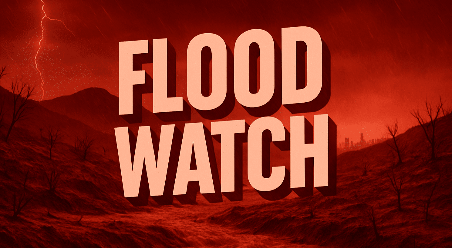
Fresno, CA – The National Weather Service (NWS) has issued multiple Flood Watches across California beginning late Wednesday night, with conditions expected to intensify Thursday and continue into Friday. Forecasters warn residents in mountain, desert, and valley regions to prepare for possible flash flooding, debris flows, and dangerous travel conditions.
According to the NWS, watches are in place for Los Angeles, Ventura, San Bernardino, Riverside, Kern, Fresno, Tulare, and Imperial counties, as well as portions of San Diego County. The heaviest rainfall is forecast Thursday morning through late Thursday night, with rates possibly exceeding half an inch per hour in some areas.
Flooding risks are highest in burn scar zones, including the Borel, Basin, French, and Garnet fire areas, where mudslides and debris flows are possible. Officials caution that even normally dry washes, rivers, and low-water crossings may become hazardous. Urban flooding is also a concern, particularly in the Antelope Valley, San Gabriel Valley, Coachella Valley, and Imperial Valley.
Impacts could include delays along Interstates 5, 10, and 15, as well as mountain highways such as Angeles Crest and Tehachapi Pass. Travelers are urged to monitor conditions closely and avoid flooded roads.
NWS meteorologists emphasize the danger of underestimating floodwaters: “Turn around, don’t drown.” Updates and safety resources are available at weather.gov/safety/flood.
This article was produced by a journalist and may include AI-assisted input. All content is reviewed for accuracy and fairness.
Follow us on Instagram & Facebook for more relevant news stories and SUPPORT LOCAL INDEPENDENT NEWS! Have a tip? Message us!

